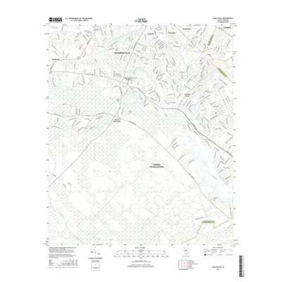
2017 Map of Stallsville
USGS Topo · Published 2017About this map
Summerville and the northern reaches of North Charleston define this landscape along the Ashley River. The area is characterized by dense residential expansion in neighborhoods like Tranquil Acres and Ashborough, juxtaposed against established landmarks such as the Middleton Place estate near the riverbank. Genealogists will find several burial grounds across the quadrangle, including the Summerville Cem and Boone Hill Cem.
Find a feature on this map
238 named features on this map. Tap any name to fly to it.
Don’t see what you’re looking for? This feature index may not catch every label — zoom into the map to look around manually.
Map Details
Editions of this 2017 Stallsville Map
This is the sole edition of this map. No revisions or reprints were ever made.
Other maps of this area

1918 · Cottageville
USGS Topo · 1:62,500

1919 · Ladson
USGS Topo · 1:21,120

1919 · Johns Island
USGS Topo · 1:21,120

1919 · Summerville
USGS Topo · 1:48,000

1919 · Ridgeville
USGS Topo · 1:48,000

1920 · Ravenels
USGS Topo · 1:62,500

1920 · Ridgeville
USGS Topo · 1:62,500

1920 · Summerville
USGS Topo · 1:62,500

1943 · Cottageville
USGS Topo · 1:62,500

1943 · Ladson
USGS Topo · 1:24,000