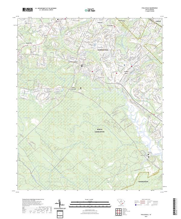
2024 Map of Stallsville
USGS Topo · Published 2024About this map
The Ashley River flows through this low-lying region of Dorchester and Charleston counties, anchoring a landscape where modern suburban expansion meets deep historical sites. Local history is etched into the ground at the Middleton Place Slave Cem and the Middleton Place Grave, offering a direct link to the area's plantation-era past. To the north, the growing community of Summerville is framed by the Sawmill Branch and the Old White Meeting House Cem. The transition from the developed streets of Ladson and North Charleston to the natural wetlands of Round Savanna and Bear Swamp illustrates the ecological character of the South Carolina Lowcountry. Transportation corridors like Dorchester Rd and Ashley River Rd connect established settlements such as Lincolnville and Stallsville with rural junctions like Cooke Crossroads.
Find a feature on this map
188 named features on this map. Tap any name to fly to it.
Don’t see what you’re looking for? This feature index may not catch every label — zoom into the map to look around manually.
Map Details
Editions of this 2024 Stallsville Map
This is the sole edition of this map. No revisions or reprints were ever made.
Historical Maps of Quail Arbor Through Time
10 maps found
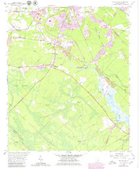
1957 Stallsville
Dorchester County, SC
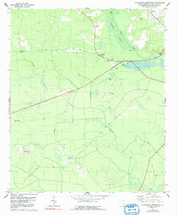
1979 Clubhouse Crossroads
Dorchester County, SC
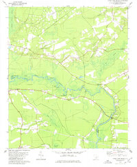
1979 Maple Cane Swamp
Dorchester County, SC
1979 Pringletown
Dorchester County, SC
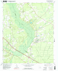
2024 Canadys
Dorchester County, SC
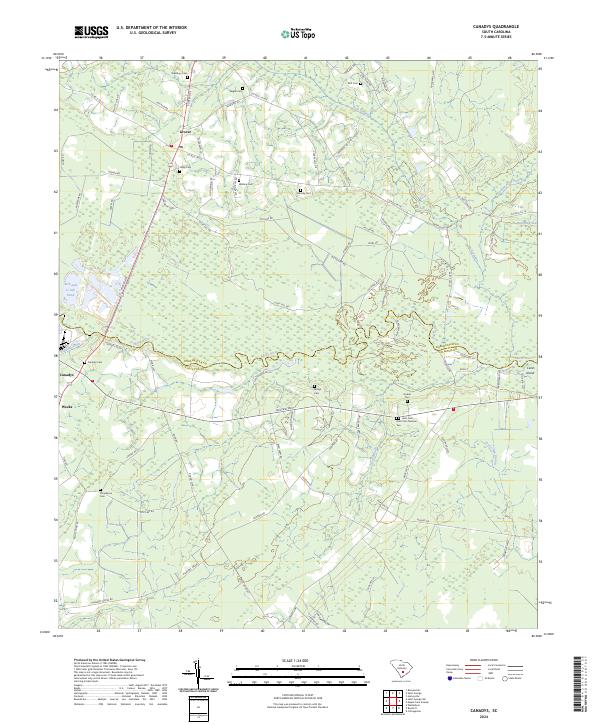
2024 Clubhouse Crossroads
Dorchester County, SC
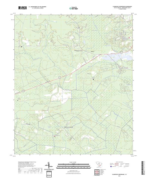
2024 Maple Cane Swamp
Dorchester County, SC
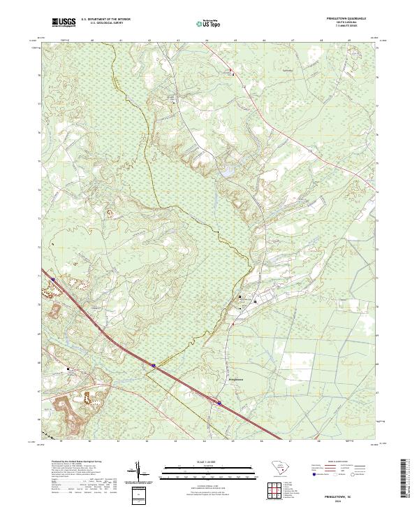
2024 Pringletown
Dorchester County, SC
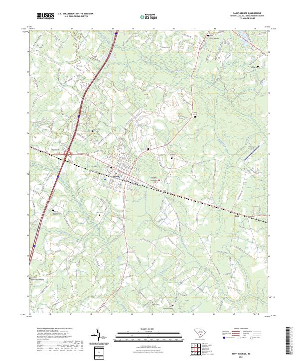
2024 Saint George
Dorchester County, SC
2024 Stallsville
Dorchester County, SC