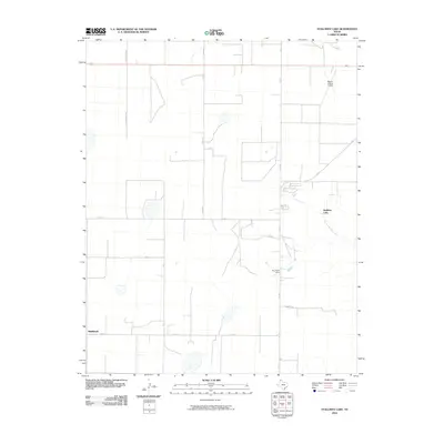
2010 Map of Stallwitz Lake
USGS Topo · Published 2010About this map
Middlewell serves as the primary landmark in this corner of the Texas Panhandle, situated along Fm 722 in a region defined by its expansive agricultural grid and critical water management. The landscape is punctuated by hydrological features such as Stallwitz Lake and the Roy Clark Dam, which control the flow of North Big Blue Creek. These water sources are vital in an area where the road network, including Rainbow Rd and Fm 2589, strictly follows the section lines of the high plains. In the northern reaches, the Moore County Airport represents the modern transportation infrastructure of Moore County, while the path of Highway 87 cuts across the northern border. This survey provides a clear view of the intersection between rural Texas ranching life and the necessary industrial and aviation footprints that support the local economy.
Find a feature on this map
17 named features on this map. Tap any name to fly to it.
Don’t see what you’re looking for? This feature index may not catch every label — zoom into the map to look around manually.
Map Details
Editions of this 2010 Stallwitz Lake Map
This is the sole edition of this map. No revisions or reprints were ever made.
Other maps of this area

1936 · Fourways
USGS Topo · 1:62,500

1953 · Masterson
USGS Topo · 1:24,000

1954 · Tucumcari
USGS Topo · 1:250,000

1954 · Amarillo
USGS Topo · 1:250,000

1958 · Amarillo
USGS Topo · 1:250,000

1958 · Tucumcari
USGS Topo · 1:250,000

1963 · Bird Ranch Store
USGS Topo · 1:24,000

1963 · Stallwitz Lake
USGS Topo · 1:24,000

1963 · Moran Ranch
USGS Topo · 1:24,000

1965 · Dumas South
USGS Topo · 1:24,000