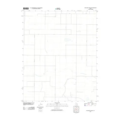
2010 Map of Stallwitz Lake NE
USGS Topo · Published 2010About this map
South Palo Duro Creek meanders across this Panhandle landscape, carving a subtle drainage through the otherwise orderly grid of agricultural roads in Moore County. The map reveals a highly structured rural environment defined by sectional surveying, where long thoroughfares such as Buddy Kline Rd and N Hunt Rd stretch across the plains. These roads, including Starkey Rd and Miles Rd, facilitate the movement between isolated farmsteads and larger regional centers. The sparse distribution of named water features underscores the arid character of the High Plains in this era, where the seasonal flow of the creek represents a critical natural landmark amidst the vast network of county roads like Rd 8.
Find a feature on this map
10 named features on this map. Tap any name to fly to it.
Don’t see what you’re looking for? This feature index may not catch every label — zoom into the map to look around manually.
Map Details
Editions of this 2010 Stallwitz Lake NE Map
This is the sole edition of this map. No revisions or reprints were ever made.
Other maps of this area

1954 · Tucumcari
USGS Topo · 1:250,000

1954 · Perryton
USGS Topo · 1:250,000

1954 · Amarillo
USGS Topo · 1:250,000

1954 · Dalhart
USGS Topo · 1:250,000

1958 · Perryton
USGS Topo · 1:250,000

1958 · Amarillo
USGS Topo · 1:250,000

1958 · Tucumcari
USGS Topo · 1:250,000

1958 · Dalhart
USGS Topo · 1:250,000

1962 · Dalhart
USGS Topo · 1:250,000

1963 · Cactus East
USGS Topo · 1:24,000