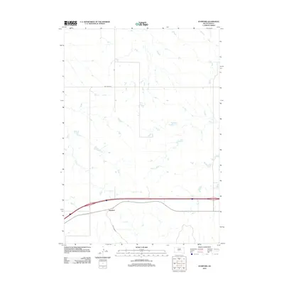
2012 Map of Stamford
USGS Topo · Published 2012About this map
Stamford anchors the southern portion of this Jackson County landscape, situated along a transportation corridor where modern infrastructure meets the seasonal watercourses of the high plains. The drainage patterns of Ash Cr and Dry Cr define the northern territory, illustrating the hydrological network that shapes this ranching and agricultural region. Rural connectivity is maintained through numbered routes such as Cnty Road Ch 1 and Cnty Road Ch 2, which trace the section lines typical of the Great Plains. This 2012 survey captures the spatial arrangement of the township as it functions in the early 21st century, showing how the local road network and natural creek beds dictate the placement of homesteads and infrastructure.
Find a feature on this map
7 named features on this map. Tap any name to fly to it.
Don’t see what you’re looking for? This feature index may not catch every label — zoom into the map to look around manually.
Map Details
Editions of this 2012 Stamford Map
This is the sole edition of this map. No revisions or reprints were ever made.
Other maps of this area

1951 · Stamford SW
USGS Topo · 1:24,000

1951 · Capa
USGS Topo · 1:24,000

1951 · Stamford SE
USGS Topo · 1:24,000

1951 · Okaton SW
USGS Topo · 1:24,000

1954 · Midland
USGS Topo · 1:24,000

1954 · Midland SE
USGS Topo · 1:24,000

1954 · Pierre
USGS Topo · 1:250,000

1955 · Martin
USGS Topo · 1:250,000

1958 · Pierre
USGS Topo · 1:250,000

1958 · Martin
USGS Topo · 1:250,000