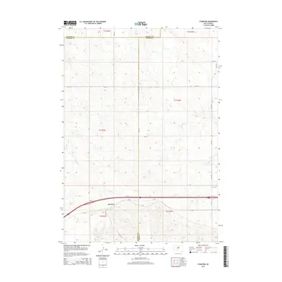
2015 Map of Stamford
USGS Topo · Published 2015About this map
The settlement of Stamford serves as the primary focal point of this South Dakota landscape, situated at a critical junction where local transit meets interstate infrastructure. Located near the tri-county intersection of Haakon, Jackson, and Jones Counties, the area is defined by a grid of section roads like Church Rd and Stamford Rd that navigate a terrain marked by intermittent drainage. Waterways such as Ash Cr, S Cr, and Dry Cr carve subtle patterns across the prairie, illustrating the drainage network of the West River region. The coexistence of the modern I 90 Wf corridor alongside the older Sd-248 reflects the evolution of regional travel, documenting how this small community remains a persistent landmark in a sparsely populated expanse of the Great Plains.
Find a feature on this map
26 named features on this map. Tap any name to fly to it.
Don’t see what you’re looking for? This feature index may not catch every label — zoom into the map to look around manually.
Map Details
Editions of this 2015 Stamford Map
This is the sole edition of this map. No revisions or reprints were ever made.
Other maps of this area

1951 · Stamford SW
USGS Topo · 1:24,000

1951 · Capa
USGS Topo · 1:24,000

1951 · Stamford SE
USGS Topo · 1:24,000

1951 · Okaton SW
USGS Topo · 1:24,000

1954 · Midland
USGS Topo · 1:24,000

1954 · Midland SE
USGS Topo · 1:24,000

1954 · Pierre
USGS Topo · 1:250,000

1955 · Martin
USGS Topo · 1:250,000

1958 · Pierre
USGS Topo · 1:250,000

1958 · Martin
USGS Topo · 1:250,000