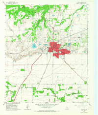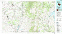
1985 Map of Stamford
USGS Topo · Published 1992About this map
The Clear Fork Brazos River winds through this West Texas landscape, anchoring a region defined by mid-century petroleum development and established ranching communities. The map highlights the significant water infrastructure supporting the area, including Lake Fort Phantom Hill near North Abilene and the sprawling Hubbard Creek Lake to the east. Local history is preserved through scattered rural landmarks such as the Avoca Sch and Spring Creek Cem, while Fort Griffin State Park marks the site of a frontier-era military post. The regional economy is visible in the extensive Oil Field designations and the intersection of the Burlington Northern and Missouri Pacific railroads, which facilitated the growth of towns like Stamford, Anson, and Albany.
Find a feature on this map
74 named features on this map. Tap any name to fly to it.
Don’t see what you’re looking for? This feature index may not catch every label — zoom into the map to look around manually.
Map Details
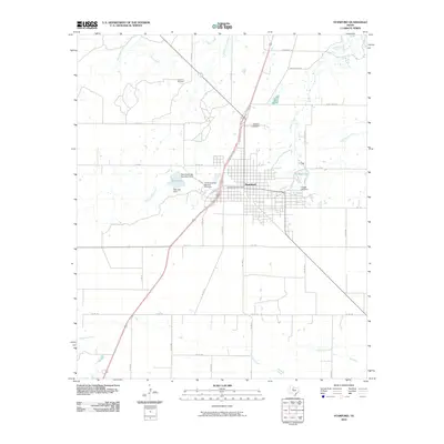
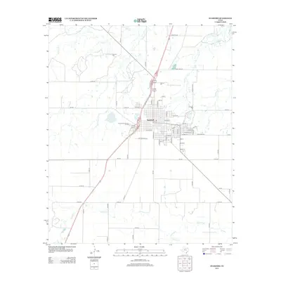
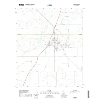
Editions of this 1985 Stamford Map
This is the sole edition of this map. No revisions or reprints were ever made.
Historical Maps of Abilene Through Time
7 maps found