
1892 Map of Stamford
USGS Topo · Published 1892About this map
The New York Connecticut Boundary Line cuts diagonally across this late 19th-century survey, revealing the interconnectedness of Fairfield and Westchester Counties. Coastal development is concentrated along the New York New Haven and Hartford Railroad, where settlements like Greenwich, Riverside, and Stamford are depicted before the dense suburbanization of the 20th century. To the north, the landscape transitions into a network of small hamlets and rugged topography, with Bedford and Poundridge serving as inland anchors.
Find a feature on this map
67 named features on this map. Tap any name to fly to it.
Don’t see what you’re looking for? This feature index may not catch every label — zoom into the map to look around manually.
Map Details
Editions of this 1892 Stamford Map
This is the sole edition of this map. No revisions or reprints were ever made.
Other maps of this area

1891 · Harlem
USGS Topo · 1:62,500

1892 · West Point
USGS Topo · 1:62,500
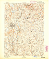
1892 · Danbury
USGS Topo · 1:62,500
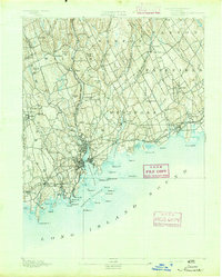
1892 · Norwalk
USGS Topo · 1:62,500

1892 · Carmel
USGS Topo · 1:62,500

1892 · Tarrytown
USGS Topo · 1:62,500

1893 · Carmel
USGS Topo · 1:62,500

1893 · Stamford
USGS Topo · 1:62,500
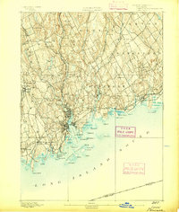
1893 · Norwalk
USGS Topo · 1:62,500

1893 · Tarrytown
USGS Topo · 1:62,500