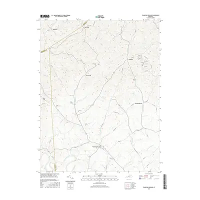
2016 Map of Stamping Ground
USGS Topo · Published 2016About this map
Stamping Ground serves as the primary hub in this portion of Scott County, where the convergence of several local drainages like Locust Fork and McConnell Run shape the local geography. The landscape is dotted with several family and community burial grounds, including the Masonic Cem and Cedar Grove Cem, which offer significant value for genealogical research in this rural Kentucky corridor.
Find a feature on this map
62 named features on this map. Tap any name to fly to it.
Don’t see what you’re looking for? This feature index may not catch every label — zoom into the map to look around manually.
Map Details
Editions of this 2016 Stamping Ground Map
This is the sole edition of this map. No revisions or reprints were ever made.
Other maps of this area

1906 · Lockport
USGS Topo · 1:48,000

1906 · Georgetown
USGS Topo · 1:62,500

1908 · Lockport
USGS Topo · 1:62,500

1908 · Georgetown
USGS Topo · 1:62,500

1922 · Frankfort
USGS Topo · 1:48,000

1924 · Frankfort
USGS Topo · 1:62,500

1939 · Sadieville
USGS Topo · 1:62,500

1952 · Midway
USGS Topo · 1:24,000

1953 · Monterey
USGS Topo · 1:24,000

1953 · Sadieville
USGS Topo · 1:24,000