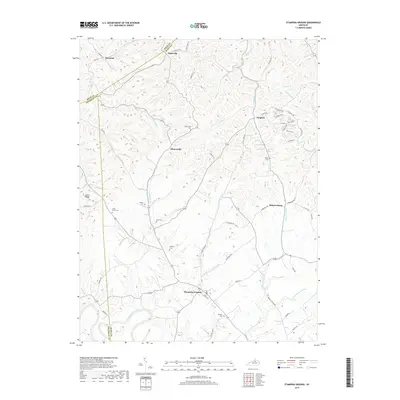
2019 Map of Stamping Ground
USGS Topo · Published 2019About this map
Stamping Ground serves as the primary hub in this portion of Scott County, situated where Locust Fork meets the surrounding road network. The landscape is defined by the winding drainages of North Elkhorn Creek and its many tributaries, creating a complex series of ridges and hollows that historically dictated settlement patterns. Small communities like Minorsville, Skinnersburg, and Longlick are scattered throughout the region, often positioned near specific watercourses or along established routes like Suterville Rd. For those researching local families, the map is a dense record of rural burial sites. Numerous cemeteries, including the Masonic Cem and Cedar Grove Cem, are preserved in the documentation. This 2019 data reflects the enduring rural character of the Bluegrass region, where geographic features like Union Ridge and Lecomptes Run continue to shape the community's layout.
Find a feature on this map
64 named features on this map. Tap any name to fly to it.
Don’t see what you’re looking for? This feature index may not catch every label — zoom into the map to look around manually.
Map Details
Editions of this 2019 Stamping Ground Map
This is the sole edition of this map. No revisions or reprints were ever made.
Other maps of this area

1906 · Lockport
USGS Topo · 1:48,000

1906 · Georgetown
USGS Topo · 1:62,500

1908 · Lockport
USGS Topo · 1:62,500

1908 · Georgetown
USGS Topo · 1:62,500

1922 · Frankfort
USGS Topo · 1:48,000

1924 · Frankfort
USGS Topo · 1:62,500

1939 · Sadieville
USGS Topo · 1:62,500

1952 · Midway
USGS Topo · 1:24,000

1953 · Monterey
USGS Topo · 1:24,000

1953 · Sadieville
USGS Topo · 1:24,000