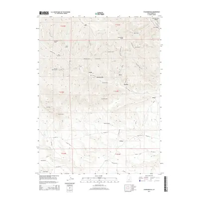
2014 Map of Standardville
USGS Topo · Published 2014About this map
Standardville and Latuda sit at the heart of this complex canyon landscape in Carbon County, where narrow drainages once served as the lifelines for a dense network of mining settlements. The map illustrates a concentration of historic coal towns including Storrs, Peerless, and Mutual, all tucked into the steep-walled corridors of Spring Canyon and its tributaries. This topographic study emphasizes the industry-driven geography of the region, where roads like Spring Canyon Rd and specialized rail infrastructure like the Consumers RR Byp were required to navigate the dramatic elevation changes between Ford Ridge and the valley floor. To the east, the larger community of Helper serves as a gateway to these mountain enclaves, positioned where the Price River cuts through Price Canyon. Traces of the local economy are visible in the placement of the Marsing Bench and various local routes such as Lone Pine Back Rd.
Find a feature on this map
60 named features on this map. Tap any name to fly to it.
Don’t see what you’re looking for? This feature index may not catch every label — zoom into the map to look around manually.
Map Details
Editions of this 2014 Standardville Map
This is the sole edition of this map. No revisions or reprints were ever made.
Other maps of this area

1885 · Manti
USGS Topo · 1:250,000

1886 · Price River
USGS Topo · 1:250,000

1895 · Manti
USGS Topo · 1:250,000

1896 · Price River
USGS Topo · 1:250,000

1914 · Castle Gate
USGS Topo · 1:62,500

1916 · Castle Gate
USGS Topo · 1:62,500

1923 · Scofield
USGS Topo · 1:62,500

1925 · Scofield
USGS Topo · 1:62,500

1939 · Soldier Summit
USGS Topo · 1:62,500

1942 · Soldier Summit
USGS Topo · 1:62,500