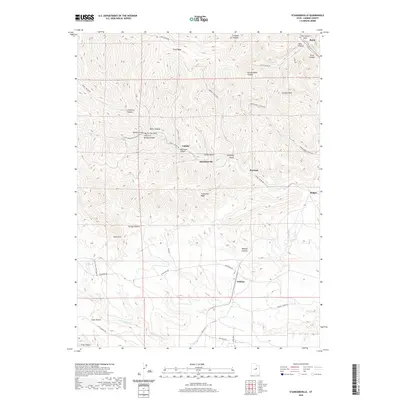
2020 Map of Standardville
USGS Topo · Published 2020About this map
Standardville and the surrounding canyons of Carbon County define this landscape of mining history and high-desert terrain. Positioned in the heart of Utah's coal country, the map illustrates the tight spatial relationship between industrial settlements and the steep drainages that sheltered them. Roads like Spring Canyon Rd and Sowbelly Gulch Rd trace the narrow valley floors, connecting storied locales such as Latuda and Peerless to the larger rail and river corridor near Helper.
Find a feature on this map
47 named features on this map. Tap any name to fly to it.
Don’t see what you’re looking for? This feature index may not catch every label — zoom into the map to look around manually.
Map Details
Editions of this 2020 Standardville Map
This is the sole edition of this map. No revisions or reprints were ever made.
Other maps of this area

1885 · Manti
USGS Topo · 1:250,000

1886 · Price River
USGS Topo · 1:250,000

1895 · Manti
USGS Topo · 1:250,000

1896 · Price River
USGS Topo · 1:250,000

1914 · Castle Gate
USGS Topo · 1:62,500

1916 · Castle Gate
USGS Topo · 1:62,500

1923 · Scofield
USGS Topo · 1:62,500

1925 · Scofield
USGS Topo · 1:62,500

1939 · Soldier Summit
USGS Topo · 1:62,500

1942 · Soldier Summit
USGS Topo · 1:62,500