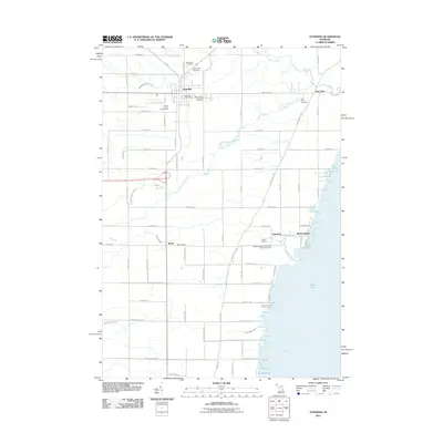
2011 Map of Standish
USGS Topo · Published 2011About this map
Standish serves as the focal point of this Arenac County landscape, situated near the confluence of local transit and regional history. The town is marked by its Standish Post Office and the Arenac County Fairgrounds, while its outskirts are dotted with established burial grounds like Woodmere Cemetery and Saint Johns Cemetery. To the south and east, the geography transitions toward the waters of Saginaw Bay and Lake Huron, where the Great Lakes Marina and the community of Whites Beach highlight the area's shoreline character.
Find a feature on this map
71 named features on this map. Tap any name to fly to it.
Don’t see what you’re looking for? This feature index may not catch every label — zoom into the map to look around manually.
Map Details
Editions of this 2011 Standish Map
This is the sole edition of this map. No revisions or reprints were ever made.
Other maps of this area

1954 · Traverse City
USGS Topo · 1:250,000

1954 · Midland
USGS Topo · 1:250,000

1954 · Flint
USGS Topo · 1:250,000

1954 · Tawas City
USGS Topo · 1:250,000

1958 · Traverse City
USGS Topo · 1:250,000

1958 · Flint
USGS Topo · 1:250,000

1958 · Tawas City
USGS Topo · 1:250,000

1958 · Midland
USGS Topo · 1:250,000

1959 · Midland
USGS Topo · 1:250,000

1966 · Midland
USGS Topo · 1:250,000