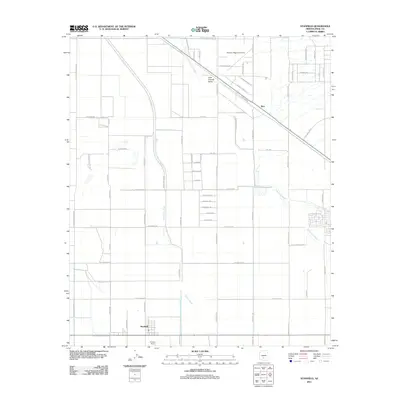
2011 Map of Stanfield
USGS Topo · Published 2011About this map
The Casa Grande Valley landscape in Pinal County is defined by a dense grid of residential and agricultural roads that intersect the natural paths of the Santa Rosa Wash and Greene Wash. This 2011 survey captures the area around Stanfield and the settlement of Bon during a period of modern expansion, where desert washes are channeled through an increasingly structured irrigation and transit network. The Union Pacific Railroad cuts diagonally across the northern sector, paralleling Cowtown Rd and serving as a primary corridor for the valley's transit. Local infrastructure is anchored by the Phoenix Regional Airport in the north and the Potters Field in the south. The road nomenclature, including Cradle Board Rd, Warrior Rd, and Peace Pipe Rd, reflects the cultural heritage of the surrounding region, while the geometric layout illustrates the systematic development of this arid basin.
Find a feature on this map
62 named features on this map. Tap any name to fly to it.
Don’t see what you’re looking for? This feature index may not catch every label — zoom into the map to look around manually.
Map Details
Editions of this 2011 Stanfield Map
This is the sole edition of this map. No revisions or reprints were ever made.
Other maps of this area

1913 · Maricopa
USGS Topo · 1:62,500

1914 · Gila Butte
USGS Topo · 1:62,500

1915 · Maricopa
USGS Topo · 1:62,500

1917 · Gila Butte
USGS Topo · 1:62,500

1922 · Casa Grande
USGS Topo · 1:62,500

1924 · Casa Grande
USGS Topo · 1:62,500

1946 · Antelope Peak
USGS Topo · 1:62,500

1948 · Antelope Peak
USGS Topo · 1:62,500

1952 · Gila Butte SE
USGS Topo · 1:24,000

1952 · Maricopa
USGS Topo · 1:24,000