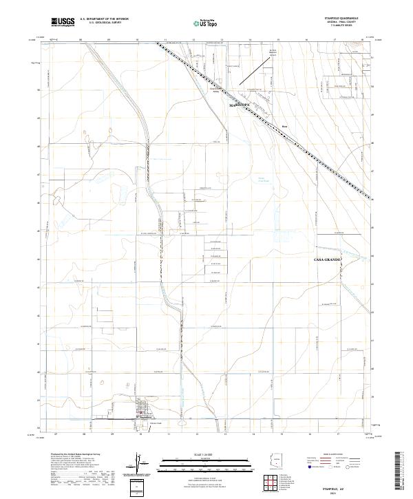
2021 Map of Stanfield
USGS Topo · Published 2021About this map
Casa Grande Valley dominates this desert landscape in Pinal County, where the agricultural and transit patterns of the early 21st century are clearly etched across the arid basin. The small community of Stanfield sits at the southern edge of the quadrangle, serving as a hub for the surrounding rural roads that partition the valley floor into precise sections. Nearby, Potters Field and the settlement of Bon represent the localized pockets of habitation that define this portion of the Arizona desert.
Find a feature on this map
74 named features on this map. Tap any name to fly to it.
Don’t see what you’re looking for? This feature index may not catch every label — zoom into the map to look around manually.
Map Details
Editions of this 2021 Stanfield Map
This is the sole edition of this map. No revisions or reprints were ever made.
Other maps of this area

1913 · Maricopa
USGS Topo · 1:62,500

1914 · Gila Butte
USGS Topo · 1:62,500

1915 · Maricopa
USGS Topo · 1:62,500

1917 · Gila Butte
USGS Topo · 1:62,500

1922 · Casa Grande
USGS Topo · 1:62,500

1924 · Casa Grande
USGS Topo · 1:62,500

1946 · Antelope Peak
USGS Topo · 1:62,500

1948 · Antelope Peak
USGS Topo · 1:62,500

1952 · Gila Butte SE
USGS Topo · 1:24,000

1952 · Maricopa
USGS Topo · 1:24,000