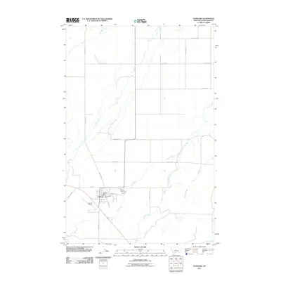
2011 Map of Stanford
USGS Topo · Published 2011About this map
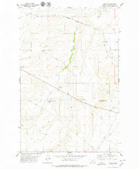
Stanford serves as the focal point of this Judith Basin County landscape, situated at the confluence of several essential waterways and transit routes. The town’s civic infrastructure is well-defined, featuring the Stanford Post Office, the Stanford Vol Fire Dept, and the Stanford Airport located just to the southwest. A grid of local roads, including Central Ave and Railroad St, organizes the settlement near the path of Wolf Creek.
Find a feature on this map
27 named features on this map. Tap any name to fly to it.
Don’t see what you’re looking for? This feature index may not catch every label — zoom into the map to look around manually.
Map Details
Editions of this 2011 Stanford Map
This is the sole edition of this map. No revisions or reprints were ever made.
Other maps of this area

1890 · Fort Benton
USGS Topo · 1:250,000

1892 · Fort Benton
USGS Topo · 1:250,000

1897 · Fort Benton
USGS Topo · 1:250,000

1954 · Great Falls
USGS Topo · 1:250,000

1957 · Great Falls
USGS Topo · 1:250,000
1978 · Stanford NE
USGS Topo · 1:24,000

1978 · Leiberg Coulee
USGS Topo · 1:24,000
1978 · Benchland
USGS Topo · 1:24,000
1978 · Windham
USGS Topo · 1:24,000
1978 · Merino
USGS Topo · 1:24,000
Featured Places
- Stanford, MT
- J and M Trailer Court, MT
- Cotton Trailer Court, Stanford
- Judith Basin County, MT
- United States