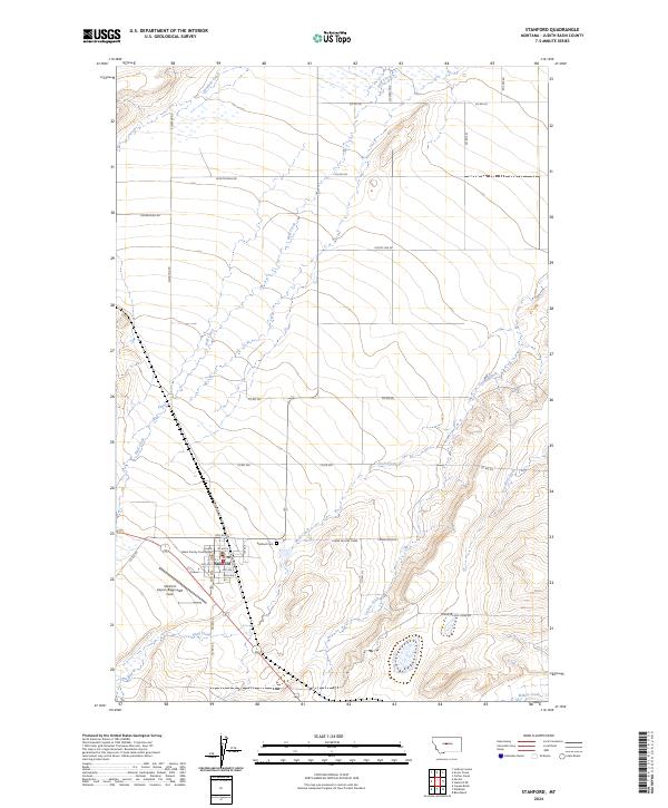
2024 Map of Stanford
USGS Topo · Published 2024About this map
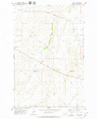
Stanford serves as a vital agricultural and administrative hub for the surrounding Judith Basin, centered on the Judith Basin County Courthouse. The landscape is defined by a dense network of watercourses including Wolf Creek, Skull Creek, and Coyote Creek, which have shaped the local road and rail alignments. Notable local landmarks like the Stanford Airport/Biggerstaff Field and the Stanford Cem provide specific points of interest for genealogists and local historians. The layout of rural routes such as Elevator Rd and W Dutchman Rd reveals a grid system adapted to the meandering paths of Meadow Creek and the southern Willow Creek. This 2024 survey documents the current intersection of the region's civic life and its enduring riparian geography.
Find a feature on this map
34 named features on this map. Tap any name to fly to it.
Don’t see what you’re looking for? This feature index may not catch every label — zoom into the map to look around manually.
Map Details
Editions of this 2024 Stanford Map
This is the sole edition of this map. No revisions or reprints were ever made.
Other maps of this area

1890 · Fort Benton
USGS Topo · 1:250,000

1892 · Fort Benton
USGS Topo · 1:250,000

1897 · Fort Benton
USGS Topo · 1:250,000

1954 · Great Falls
USGS Topo · 1:250,000

1957 · Great Falls
USGS Topo · 1:250,000
1978 · Stanford NE
USGS Topo · 1:24,000

1978 · Leiberg Coulee
USGS Topo · 1:24,000
1978 · Benchland
USGS Topo · 1:24,000
1978 · Windham
USGS Topo · 1:24,000
1978 · Merino
USGS Topo · 1:24,000
Featured Places
- Stanford, MT
- J and M Trailer Court, MT
- Cotton Trailer Court, Stanford
- Judith Basin County, MT
- United States