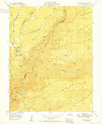
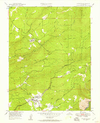
1949 Map of Stanislaus
USGS Topo · Published 1949About this map
The Stanislaus River carves a deep path through the heart of this landscape, its waters harnessed for power and transport during the post-war era. The industrial footprint of the Sierra Nevada is clear, from the Powerhouse Stanislaus near Clarks Flat to the high-elevation Lumber RR and numerous ditches like the Utica Ditch. These features point to a mid-century economy built on hydropower and timber extraction. Logging operations are further evidenced by the Calaveras Ranger Sta and the network of forest roads surrounding Doud Hill. On the eastern edge, the preservation of the Stanislaus Grove Big Trees stands in contrast to the nearby timber lands. Settled areas such as Avery and Hathaway Pines serve as mountain hubs, while remote fire detection points like McCormick Lookout and Forebay Lookout overlook the rugged drainage basins of Griswold Creek and McCormick Creek.
Find a feature on this map
46 named features on this map. Tap any name to fly to it.
Don’t see what you’re looking for? This feature index may not catch every label — zoom into the map to look around manually.
Map Details
Editions of this 1949 Stanislaus Map
2 editions found
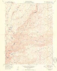
Other maps of this area

1891 · Big Trees
USGS Topo · 1:125,000

1894 · Big Trees
USGS Topo · 1:125,000

1897 · Big Trees
USGS Topo · 1:125,000

1901 · Big Trees
USGS Topo · 1:125,000

1947 · Sacramento
USGS Topo · 1:250,000

1948 · Sacramento
USGS Topo · 1:250,000

1948 · Columbia
USGS Topo · 1:62,500
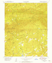
1948 · Columbia SE
USGS Topo · 1:24,000
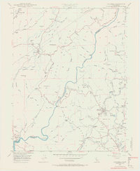
1948 · Columbia
USGS Topo · 1:24,000
1948 · Murphys
USGS Topo · 1:24,000