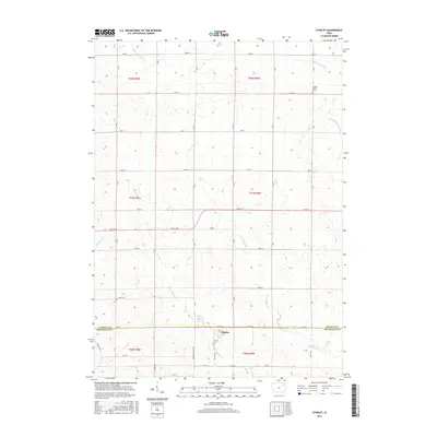
2015 Map of Stanley
USGS Topo · Published 2015About this map
Stanley sits at the southern edge of this Iowa landscape, straddling the line between Fayette and Buchanan counties. The town is flanked by the Stanley Cem and serves as a quiet center for the surrounding agricultural grid. The terrain is defined by a dense network of headwaters, including the W Br Buffalo Cr and E Br Buffalo Cr, which drain the rolling fields toward the south. To the north, the Little Volga River and S Fork Maquoketa River cross the upper corners of the quadrangle, indicating the divide between different regional watersheds.
Find a feature on this map
41 named features on this map. Tap any name to fly to it.
Don’t see what you’re looking for? This feature index may not catch every label — zoom into the map to look around manually.
Map Details
Editions of this 2015 Stanley Map
This is the sole edition of this map. No revisions or reprints were ever made.
Other maps of this area

1901 · Oelwein
USGS Topo · 1:125,000

1959 · Dubuque
USGS Topo · 1:250,000

1961 · Dubuque
USGS Topo · 1:250,000

1962 · Dubuque
USGS Topo · 1:250,000

1965 · Wadena
USGS Topo · 1:24,000

1965 · Arlington
USGS Topo · 1:24,000

1965 · Lamont
USGS Topo · 1:24,000

1976 · Dubuque
USGS Topo · 1:250,000
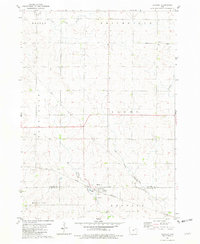
1981 · Stanley
USGS Topo · 1:24,000
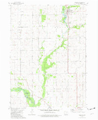
1981 · Hazleton
USGS Topo · 1:24,000