2022 Map of Stanley
USGS Topo · Published 2022About this map
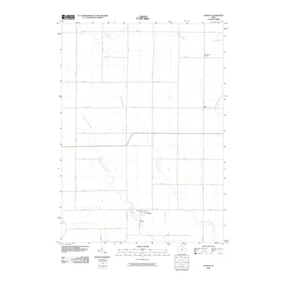
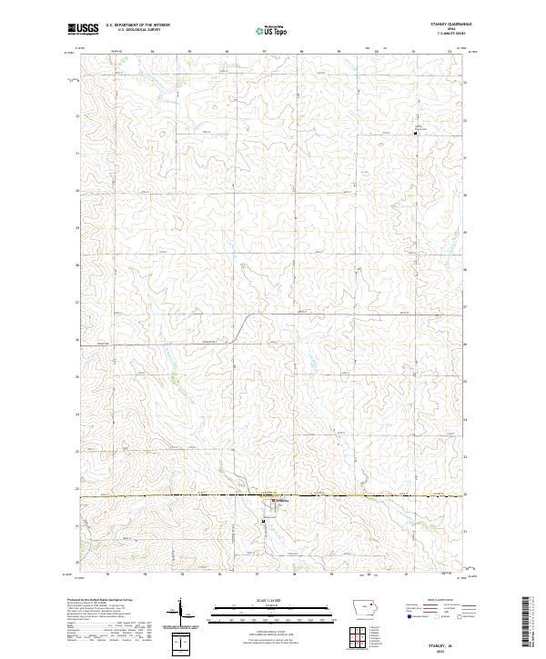
The town of Stanley sits at the intersection of the Fayette and Buchanan county line, serving as a focal point for this agrarian landscape in northeast Iowa. This survey reveals a terrain defined by the headwaters and branches of several regional waterways, including the Little Volga River in the north and the S Fork Maquoketa River to the east. The land is organized by a meticulous grid of rural roads such as Knight Rd and Co Rd W33, reflecting the enduring township and range system that governs the local geography.
Find a feature on this map
42 named features on this map. Tap any name to fly to it.
Don’t see what you’re looking for? This feature index may not catch every label — zoom into the map to look around manually.
Map Details
Editions of this 2022 Stanley Map
This is the sole edition of this map. No revisions or reprints were ever made.
Historical Maps of Stanley Through Time
6 maps found