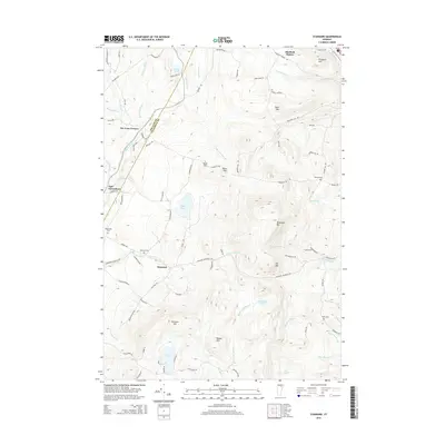
2015 Map of Stannard
USGS Topo · Published 2015About this map
Stannard and the high ridges of the Green Mountain state define this 2015 survey, where the border of Orleans Co and Caledonia Co cuts through the high ground. The landscape is a network of small watersheds drained by the Lamoille River and numerous mountain brooks such as Stream Mill Brook and Houghton Brook. Named peaks like Wheelock Mtn, Stannard Mtn, and Round Mtn overlook a series of upland waters including Flagg Pond and Coles Pond. For the genealogist and local historian, the map preserves the location of remote burial grounds such as Stannard Cem, Ramsey Cem, and Batchelder Cem. The road network connects historic crossroads like The Four Corners and the settlement at East Greensboro, tracing the difficult topography of this Northeast Kingdom region.
Find a feature on this map
94 named features on this map. Tap any name to fly to it.
Don’t see what you’re looking for? This feature index may not catch every label — zoom into the map to look around manually.
Map Details
Editions of this 2015 Stannard Map
This is the sole edition of this map. No revisions or reprints were ever made.
Other maps of this area

1928 · Hardwick
USGS Topo · 1:62,500

1934 · Hardwick
USGS Topo · 1:48,000

1935 · Lyndonville
USGS Topo · 1:48,000

1938 · Hardwick
USGS Topo · 1:62,500

1938 · St. Johnsbury
USGS Topo · 1:48,000

1939 · Lyndonville
USGS Topo · 1:62,500

1939 · Plainfield
USGS Topo · 1:48,000

1940 · Plainfield
USGS Topo · 1:62,500

1943 · Plainfield
USGS Topo · 1:62,500

1943 · St. Johnsbury
USGS Topo · 1:62,500