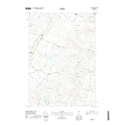
2021 Map of Stannard
USGS Topo · Published 2021About this map
Stannard and East Greensboro anchor this landscape of the Vermont highlands, where the boundary between Orleans County and Caledonia County cuts across the western hills. The terrain is defined by prominent peaks including Wheelock Mtn, Stannard Mtn, and Ide Mtn, creating a watershed that feeds numerous ponds and brooks. Water features such as Coles Pond, Flagg Pond, and the Lamoille River suggest a rural economy traditionally tied to these natural resources.
Find a feature on this map
91 named features on this map. Tap any name to fly to it.
Don’t see what you’re looking for? This feature index may not catch every label — zoom into the map to look around manually.
Map Details
Editions of this 2021 Stannard Map
This is the sole edition of this map. No revisions or reprints were ever made.
Other maps of this area

1928 · Hardwick
USGS Topo · 1:62,500

1934 · Hardwick
USGS Topo · 1:48,000

1935 · Lyndonville
USGS Topo · 1:48,000

1938 · Hardwick
USGS Topo · 1:62,500

1938 · St. Johnsbury
USGS Topo · 1:48,000

1939 · Lyndonville
USGS Topo · 1:62,500

1939 · Plainfield
USGS Topo · 1:48,000

1940 · Plainfield
USGS Topo · 1:62,500

1943 · Plainfield
USGS Topo · 1:62,500

1943 · St. Johnsbury
USGS Topo · 1:62,500