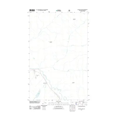
2011 Map of Stanton Lake
USGS Topo · Published 2011About this map
The Middle Fork Flathead River serves as the central artery for this mountainous region of Flathead County, carving a valley that dictates the local transportation and recreation patterns. This landscape is defined by its significant drainage systems, with Coal Creek, Nyack Creek, and Pinchot Creek feeding into the main river channel from the surrounding high ground. Elevations are anchored by prominent peaks including Double Mountain, Threetops Mountain, and Threesuns Mountain.
Find a feature on this map
13 named features on this map. Tap any name to fly to it.
Don’t see what you’re looking for? This feature index may not catch every label — zoom into the map to look around manually.
Map Details
Editions of this 2011 Stanton Lake Map
This is the sole edition of this map. No revisions or reprints were ever made.
Other maps of this area

1904 · Chief Mountain
USGS Topo · 1:125,000

1914 · Nyack
USGS Topo · 1:125,000

1938 · Chief Mountain
USGS Topo · 1:125,000

1960 · Cut Bank
USGS Topo · 1:250,000

1963 · Cut Bank
USGS Topo · 1:250,000

1964 · Cut Bank
USGS Topo · 1:250,000

1964 · Essex
USGS Topo · 1:24,000

1964 · Nyack
USGS Topo · 1:24,000

1964 · Pinnacle
USGS Topo · 1:24,000

1964 · Stanton Lake
USGS Topo · 1:24,000