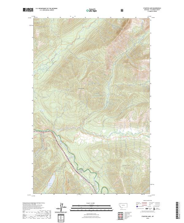
2024 Map of Stanton Lake
USGS Topo · Published 2024About this map
The Middle Fork Flathead River carves a deep valley through this corner of the Rockies, defining the rugged geography within Glacier National Park and the Flathead National Forest. This modern survey details the protected landscape of the Great Bear Wilderness, where drainage networks like Coal Creek and Stanton Creek feed into the main river channel. The topography is dominated by massive peaks including Threesuns Mtn, Threetops Mtn, and Double Mtn, providing a clear view of the elevation changes across Grant Ridge. A primary corridor for movement through these mountains is found at Theodore Roosevelt Pass, which leads into the steep-walled John F Stevens Canyon. Researchers can trace old backcountry routes such as the Nyack Creek Trl and South Boundary Trl, which connect the high ridges to the waters of Stanton Lake.
Find a feature on this map
38 named features on this map. Tap any name to fly to it.
Don’t see what you’re looking for? This feature index may not catch every label — zoom into the map to look around manually.
Map Details
Editions of this 2024 Stanton Lake Map
This is the sole edition of this map. No revisions or reprints were ever made.
Other maps of this area

1904 · Chief Mountain
USGS Topo · 1:125,000

1914 · Nyack
USGS Topo · 1:125,000

1938 · Chief Mountain
USGS Topo · 1:125,000

1960 · Cut Bank
USGS Topo · 1:250,000

1963 · Cut Bank
USGS Topo · 1:250,000

1964 · Cut Bank
USGS Topo · 1:250,000

1964 · Essex
USGS Topo · 1:24,000

1964 · Nyack
USGS Topo · 1:24,000

1964 · Pinnacle
USGS Topo · 1:24,000

1964 · Stanton Lake
USGS Topo · 1:24,000