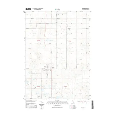
2014 Map of Stanton
USGS Topo · Published 2014About this map
Stanton serves as a central hub in this agricultural and glacial lake region of Montcalm County. The landscape is defined by a dense concentration of kettle lakes, including Colby Lake, Derby Lake, and the connected Twin Stone Lakes, which influenced early settlement patterns and subsequent recreational development. The map details the rural community of Westville and the village of McBride, along with institutional landmarks like Montcalm Community College. For genealogists, the map identifies several local burial grounds such as Forest Hill Cem and McBrides Cem. The presence of the Heartland Trail crossing through the southern section suggests the conversion of former railroad corridors into modern thoroughfares, while the headwaters of W Br Fish Cr drain the eastern lowlands.
Find a feature on this map
88 named features on this map. Tap any name to fly to it.
Don’t see what you’re looking for? This feature index may not catch every label — zoom into the map to look around manually.
Map Details
Editions of this 2014 Stanton Map
This is the sole edition of this map. No revisions or reprints were ever made.
Other maps of this area

1954 · Midland
USGS Topo · 1:250,000

1958 · Midland
USGS Topo · 1:250,000

1959 · Midland
USGS Topo · 1:250,000

1964 · Edmore
USGS Topo · 1:24,000

1964 · Six Lakes
USGS Topo · 1:24,000

1964 · Langston
USGS Topo · 1:24,000

1964 · Stanton
USGS Topo · 1:24,000

1965 · Vestaburg
USGS Topo · 1:24,000

1965 · Crystal
USGS Topo · 1:24,000

1966 · Midland
USGS Topo · 1:250,000