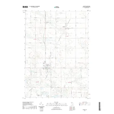
2019 Map of Stanton
USGS Topo · Published 2019About this map
The Montcalm County Courthouse serves as the central landmark for Stanton, the county seat of Montcalm County, as it appeared in the late 2010s. This survey illustrates a landscape defined by its historical settlements and glacial topography, with the community of McBride to the northeast and the village of Westville situated along the northern section of Sheridan Road. The residential and civic core of Stanton is detailed along streets like E Main St and W Walnut St, where Forest Hill Cem sits on the western edge of town.
Find a feature on this map
91 named features on this map. Tap any name to fly to it.
Don’t see what you’re looking for? This feature index may not catch every label — zoom into the map to look around manually.
Map Details
Editions of this 2019 Stanton Map
This is the sole edition of this map. No revisions or reprints were ever made.
Other maps of this area

1954 · Midland
USGS Topo · 1:250,000

1958 · Midland
USGS Topo · 1:250,000

1959 · Midland
USGS Topo · 1:250,000

1964 · Edmore
USGS Topo · 1:24,000

1964 · Six Lakes
USGS Topo · 1:24,000

1964 · Langston
USGS Topo · 1:24,000

1964 · Stanton
USGS Topo · 1:24,000

1965 · Vestaburg
USGS Topo · 1:24,000

1965 · Crystal
USGS Topo · 1:24,000

1966 · Midland
USGS Topo · 1:250,000