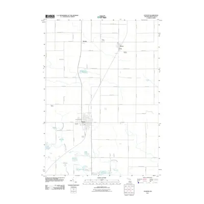
2023 Map of Stanton
USGS Topo · Published 2023About this map
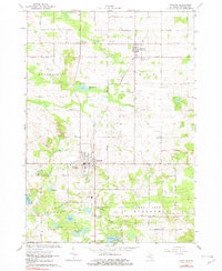
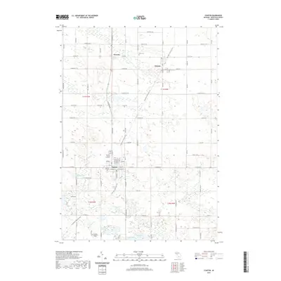
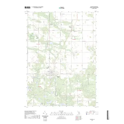
Stanton serves as the focal point of this Montcalm County landscape, anchored by the Montcalm County Courthouse and a gridded street plan that defines the local seat of government. To the north, the small settlements of Westville and McBride dot the countryside, connected by a network of rural roads such as Coral Rd NE and Kendaville Rd. The terrain is defined by its numerous glacial water bodies, including the Twin Stone Lakes, Half Moon Lake, and Derby Lake, which sit alongside the drainage of West Branch Fish Creek.
Find a feature on this map
90 named features on this map. Tap any name to fly to it.
Don’t see what you’re looking for? This feature index may not catch every label — zoom into the map to look around manually.
Map Details
Editions of this 2023 Stanton Map
This is the sole edition of this map. No revisions or reprints were ever made.
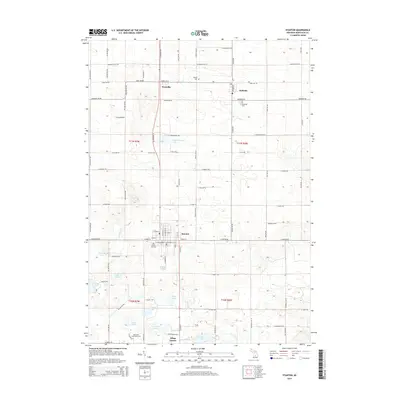
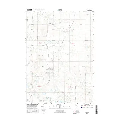
Historical Maps of Stanton Through Time
6 maps found