
Loading...
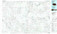
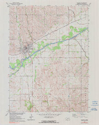
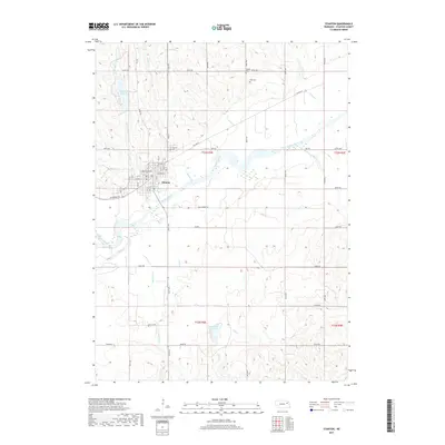
Loading map...1985 Map of Stanton
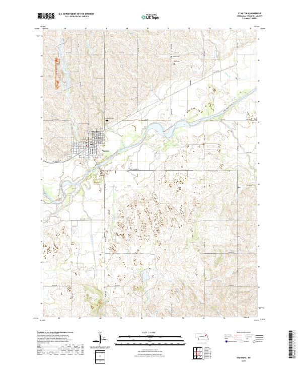
USGS Topo · Published 1991About this map
The Elkhorn River and its major tributary, the North Fork Elkhorn River, dominate this mid-1980s landscape of northeast Nebraska. Centered on the town of Stanton, the survey illustrates a region shaped by a dense network of watercourses including Union Creek, Maple Creek, and Shell Creek. The agricultural grid is punctuated by small prairie settlements such as Newman Grove, Lindsay, and Humphrey, which served as vital hubs for the surrounding farming communities.
Find a feature on this map
71 named features on this map. Tap any name to fly to it.
Don’t see what you’re looking for? This feature index may not catch every label — zoom into the map to look around manually.
Map Details
Date Portrayed1985
Date Published1991
PublisherU.S. Geological Survey
Map TypeTopographic
Scale1:100,000
Physical Dimensions39.1 x 24.1 inches
Editions of this 1985 Stanton Map
2 editions found
Historical Maps of Madison Through Time
6 maps found
Featured Locations
Source Details
SourceU.S. Geological Survey
CopyrightPublic Domain