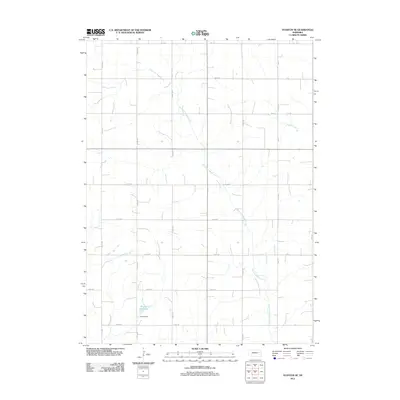
2011 Map of Stanton SE
USGS Topo · Published 2011About this map
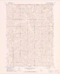
East Fork Maple Creek winds through this rural section of Stanton County, defining the drainage patterns of the agricultural landscape. The creek is joined by several smaller tributaries, including Pebble Creek, as they meander through a grid-work of section-line roads and farmland. In the southern portion of the quadrangle, the Kucera Dam holds back the waters of Kucera Reservoir, a significant man-made water body that serves as a local landmark. A central north-south transportation corridor is provided by Hwy-15, which cuts through the township's layout of numbered avenues and roads. The map illustrates a highly organized rural infrastructure, where the natural curvature of the waterways contrasts with the strict geometric precision of the county's road system, including routes like 831 Rd and 572nd Ave.
Find a feature on this map
26 named features on this map. Tap any name to fly to it.
Don’t see what you’re looking for? This feature index may not catch every label — zoom into the map to look around manually.
Map Details
Editions of this 2011 Stanton SE Map
This is the sole edition of this map. No revisions or reprints were ever made.
Other maps of this area

1955 · Fremont
USGS Topo · 1:250,000

1957 · Fremont
USGS Topo · 1:250,000

1958 · Fremont
USGS Topo · 1:250,000

1963 · Wisner
USGS Topo · 1:24,000
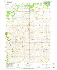
1963 · Stanton NE
USGS Topo · 1:24,000
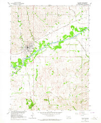
1963 · Stanton
USGS Topo · 1:24,000

1966 · Aloys
USGS Topo · 1:24,000

1966 · Clarkson
USGS Topo · 1:24,000
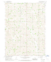
1966 · Stanton SE
USGS Topo · 1:24,000
1966 · Stanton SW
USGS Topo · 1:24,000