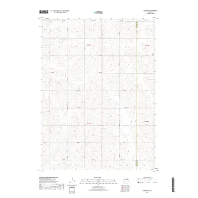
2017 Map of Stanton SE
USGS Topo · Published 2017About this map
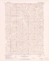
The agrarian landscape along the Stanton County and Cuming County line is defined by a rigorous grid of section lines and the winding paths of the Elkhorn River's tributaries. Saint Peters Cem sits near the eastern edge of the map, serving as a quiet landmark within the rural township structure. The drainage patterns of the E Fork Maple Cr and Pebble Cr dominate the topography, creating subtle variations in the terrain where local roads like 829th Rd and 573rd Ave cross the water. To the southwest, the Kucera Reservoir provides a managed water source amidst the rolling fields. This 2017 study illustrates the persistence of the Public Land Survey System, where modern infrastructure precisely follows the historic section boundaries established over a century ago.
Find a feature on this map
32 named features on this map. Tap any name to fly to it.
Don’t see what you’re looking for? This feature index may not catch every label — zoom into the map to look around manually.
Map Details
Editions of this 2017 Stanton SE Map
This is the sole edition of this map. No revisions or reprints were ever made.
Other maps of this area

1955 · Fremont
USGS Topo · 1:250,000

1957 · Fremont
USGS Topo · 1:250,000

1958 · Fremont
USGS Topo · 1:250,000

1963 · Wisner
USGS Topo · 1:24,000
1963 · Stanton NE
USGS Topo · 1:24,000
1963 · Stanton
USGS Topo · 1:24,000

1966 · Aloys
USGS Topo · 1:24,000

1966 · Clarkson
USGS Topo · 1:24,000
1966 · Stanton SE
USGS Topo · 1:24,000
1966 · Stanton SW
USGS Topo · 1:24,000