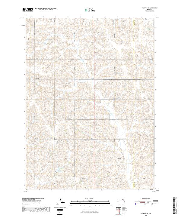
2021 Map of Stanton SE
USGS Topo · Published 2021About this map
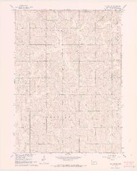
Saint Peters Cem sits along the eastern boundary of this agricultural landscape, where the Stanton and Cuming county line divides the township sections. This area of rural Nebraska is defined by the drainage patterns of the E Fork Maple Cr, which meanders through the western half of the map, and the headwaters of Pebble Cr and N Br Pebble Cr to the east. The terrain is organized by a strict grid of section roads including 831th Rd and 571st Ave, reflecting the enduring influence of the Public Land Survey System on the state's development. Near the southern edge, the Kucera Reservoir provides a localized water management point amidst the undulating fields of Township 21 North.
Find a feature on this map
31 named features on this map. Tap any name to fly to it.
Don’t see what you’re looking for? This feature index may not catch every label — zoom into the map to look around manually.
Map Details
Editions of this 2021 Stanton SE Map
This is the sole edition of this map. No revisions or reprints were ever made.
Other maps of this area

1955 · Fremont
USGS Topo · 1:250,000

1957 · Fremont
USGS Topo · 1:250,000

1958 · Fremont
USGS Topo · 1:250,000

1963 · Wisner
USGS Topo · 1:24,000
1963 · Stanton NE
USGS Topo · 1:24,000
1963 · Stanton
USGS Topo · 1:24,000

1966 · Aloys
USGS Topo · 1:24,000

1966 · Clarkson
USGS Topo · 1:24,000
1966 · Stanton SE
USGS Topo · 1:24,000
1966 · Stanton SW
USGS Topo · 1:24,000