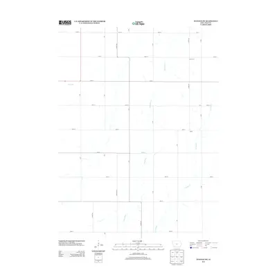
2013 Map of Stanton SW
USGS Topo · Published 2013About this map
Tarkio River and its various tributaries define the drainage of this section of Page County, shaping the agricultural layout of the rural landscape. Small rural centers such as North Grove in the north and Darwin in the east provide geographical focal points amidst a rigid grid of section-line roads, including Co Hwy M56 and Lumber Ave. The mapping of smaller watercourses like Rocky Br and E Tarkio Cr reveals the natural hydrology that local farmers have worked around for generations. This 2013 snapshot from the U.S. Geological Survey preserves the specific alignment of rural infrastructure, from Hickory Ave to 202nd St, before any subsequent rural development or road reclassifications.
Find a feature on this map
27 named features on this map. Tap any name to fly to it.
Don’t see what you’re looking for? This feature index may not catch every label — zoom into the map to look around manually.
Map Details
Editions of this 2013 Stanton SW Map
This is the sole edition of this map. No revisions or reprints were ever made.
Other maps of this area

1939 · Farragut
USGS Topo · 1:62,500

1940 · Farragut
USGS Topo · 1:62,500

1940 · Coin
USGS Topo · 1:62,500

1943 · Coin
USGS Topo · 1:62,500

1955 · Nebraska City
USGS Topo · 1:250,000

1957 · Nebraska City
USGS Topo · 1:250,000

1958 · Nebraska City
USGS Topo · 1:250,000

1978 · Stanton
USGS Topo · 1:24,000

1978 · Shenandoah East
USGS Topo · 1:24,000

1978 · Stanton SW
USGS Topo · 1:24,000