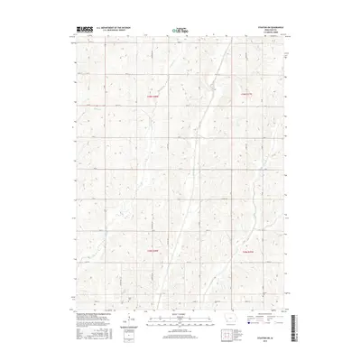
2015 Map of Stanton SW
USGS Topo · Published 2015About this map
Tarkio River and its various forks define the rural character of this Page County landscape, where the west and east branches converge amidst a grid of section roads. The terrain is marked by gentle elevation changes and small tributaries like Rocky Br, flowing through the townships of t70n r38w and t69n r37w. For those researching local family history, the map identifies established burial grounds including Baker Cem near the southern edge and Summit Cem to the southeast. These cemeteries, alongside the preservation of original section lines and road names like Ironwood Ave and Lumber Ave, provide clear geographic anchors for studying 21st-century land use and historic property boundaries in this agricultural region of southwest Iowa.
Find a feature on this map
33 named features on this map. Tap any name to fly to it.
Don’t see what you’re looking for? This feature index may not catch every label — zoom into the map to look around manually.
Map Details
Editions of this 2015 Stanton SW Map
This is the sole edition of this map. No revisions or reprints were ever made.
Other maps of this area

1939 · Farragut
USGS Topo · 1:62,500

1940 · Farragut
USGS Topo · 1:62,500

1940 · Coin
USGS Topo · 1:62,500

1943 · Coin
USGS Topo · 1:62,500

1955 · Nebraska City
USGS Topo · 1:250,000

1957 · Nebraska City
USGS Topo · 1:250,000

1958 · Nebraska City
USGS Topo · 1:250,000

1978 · Stanton
USGS Topo · 1:24,000

1978 · Shenandoah East
USGS Topo · 1:24,000

1978 · Stanton SW
USGS Topo · 1:24,000