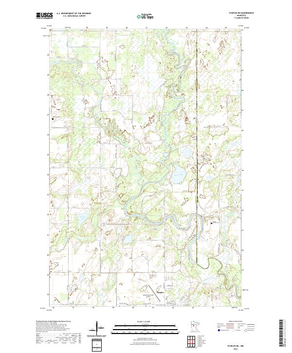
2022 Map of Staples NE
USGS Topo · Published 2022About this map
Staples anchors the southern edge of this Minnesota landscape, where the northern wetlands and river systems dominate the terrain. The Crow Wing River and its tributary, the Crow Wing River Tri, meander through the central and eastern portions of the quadrangle, creating a complex network of marshes and low-lying water bodies including Simon Lake and Lovejoy Lake. The Leaf River cuts across the center, joining the larger hydrologic system that defines the Wadena Co Cass Co boundary line.
Find a feature on this map
71 named features on this map. Tap any name to fly to it.
Don’t see what you’re looking for? This feature index may not catch every label — zoom into the map to look around manually.
Map Details
Editions of this 2022 Staples NE Map
This is the sole edition of this map. No revisions or reprints were ever made.
Other maps of this area

1919 · Leader
USGS Topo · 1:62,500

1953 · Brainerd
USGS Topo · 1:250,000

1957 · Brainerd
USGS Topo · 1:250,000

1958 · Brainerd
USGS Topo · 1:250,000

1963 · Motley
USGS Topo · 1:24,000

1965 · Brainerd
USGS Topo · 1:250,000

1966 · Staples NE
USGS Topo · 1:24,000
1966 · Motley NW
USGS Topo · 1:24,000

1966 · Staples
USGS Topo · 1:24,000

1966 · Aldrich North
USGS Topo · 1:24,000