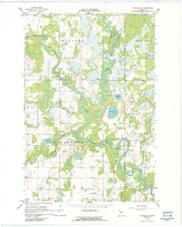
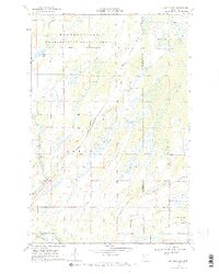
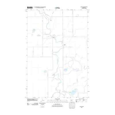
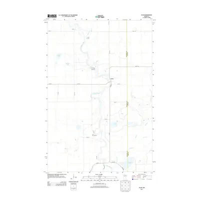
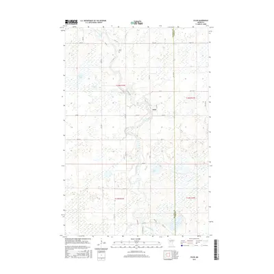
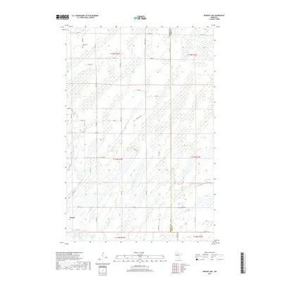
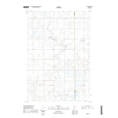
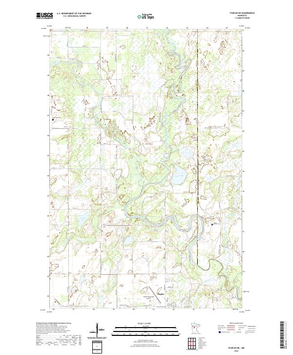
1966 Map of Staples NE
USGS Topo · Published 1988About this map
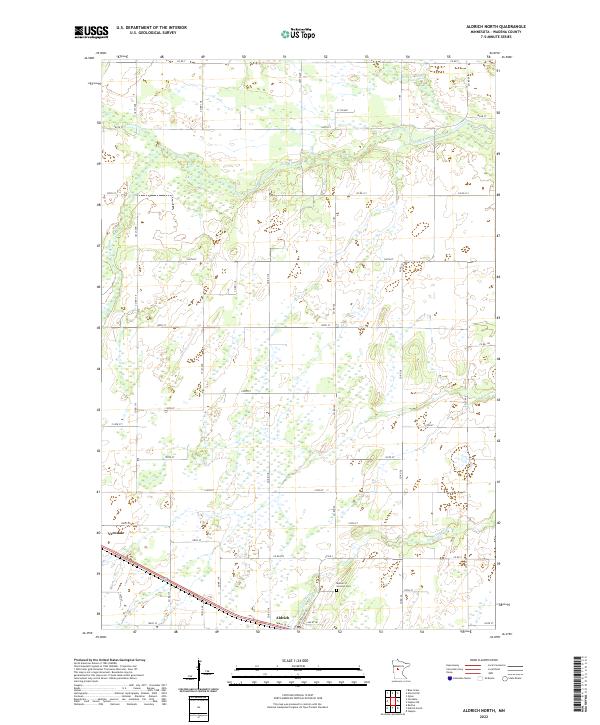
The confluence of the Leaf River and Crow Wing River dominates this mid-1960s landscape along the border of Wadena and Cass counties. The terrain is characterized by a complex network of wetlands and small lakes, including Radabaugh Lake and Simon Lake, interspersed with township lands like Bullard and Thomastown. Local infrastructure and social landmarks are well-documented, featuring the Staples Municipal Airport and Terrace Country Club in the southern portion of the sheet.
Find a feature on this map
23 named features on this map. Tap any name to fly to it.
Don’t see what you’re looking for? This feature index may not catch every label — zoom into the map to look around manually.
Map Details
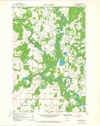
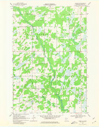
Editions of this 1966 Staples NE Map
2 editions found
Historical Maps of Staples Through Time
36 maps found
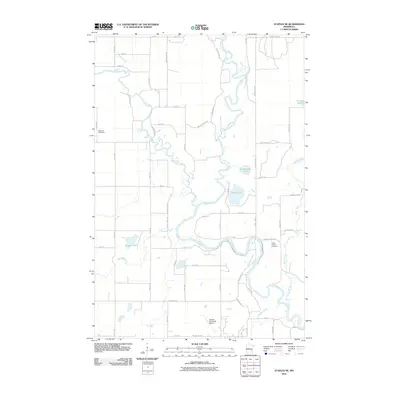
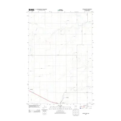
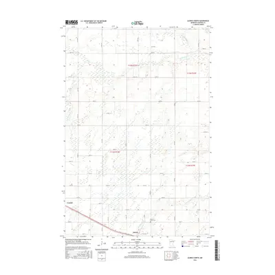
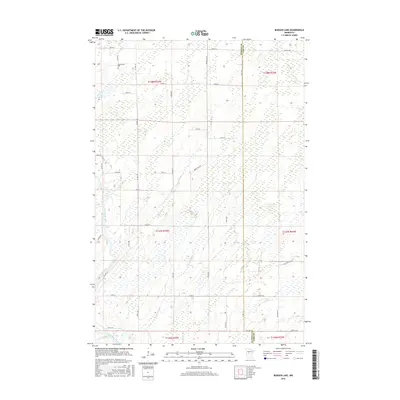
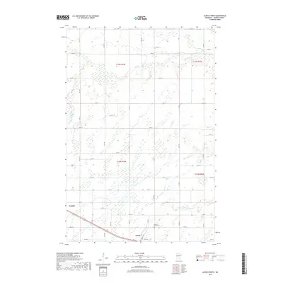
1966 Aldrich North
Wadena County, MN
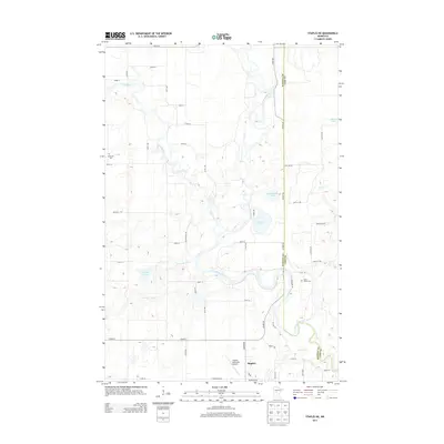
1966 Staples NE
Wadena County, MN
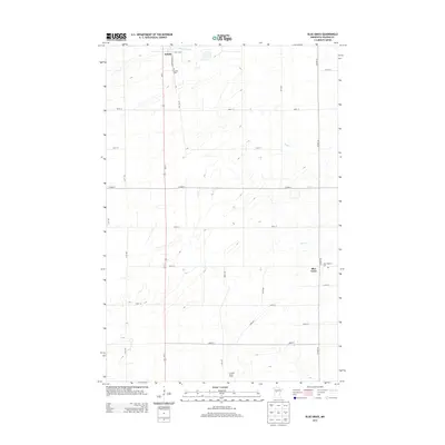
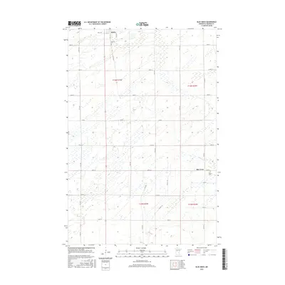
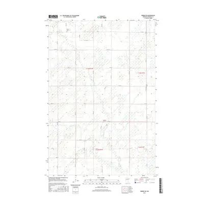
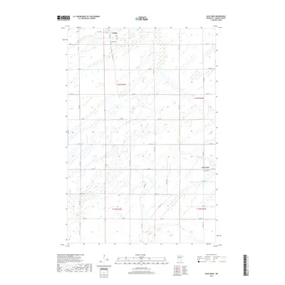
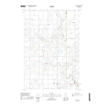
1969 Blue Grass
Wadena County, MN
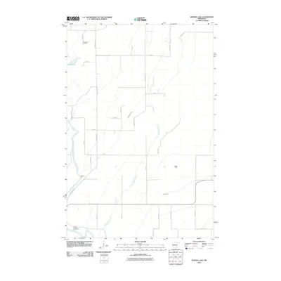
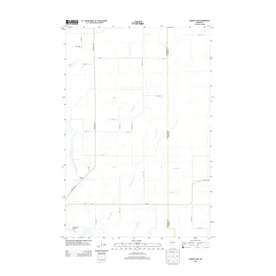
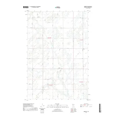
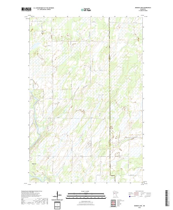
1969 Burgen Lake
Wadena County, MN
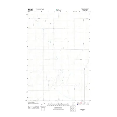
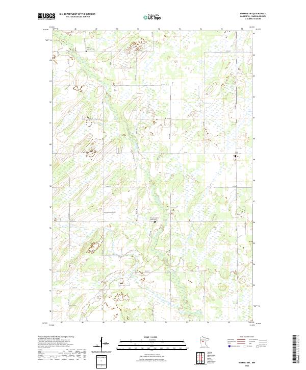
1969 Nimrod SW
Wadena County, MN

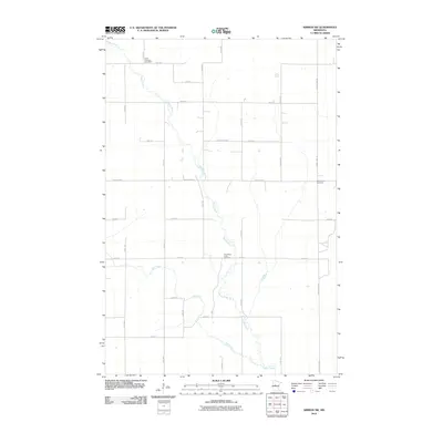
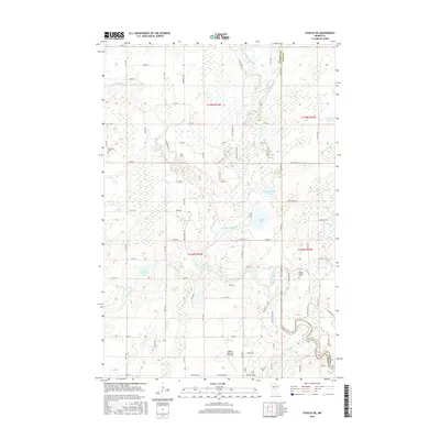
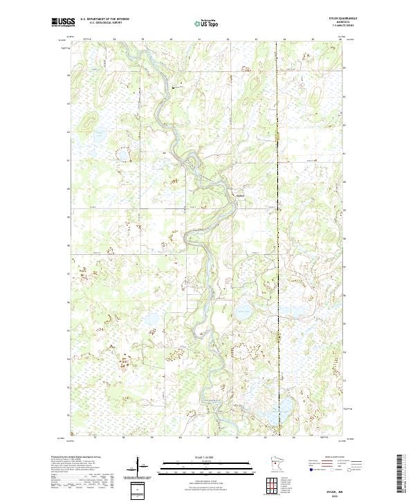
1969 Oylen
Wadena County, MN
2010 Aldrich North
Wadena County, MN
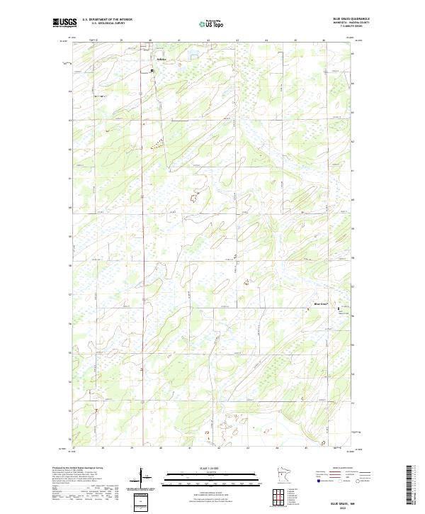
2010 Blue Grass
Wadena County, MN
2010 Burgen Lake
Wadena County, MN
2010 Nimrod SW
Wadena County, MN
2010 Oylen
Wadena County, MN
2010 Staples NE
Wadena County, MN
2013 Aldrich North
Wadena County, MN
2013 Blue Grass
Wadena County, MN
2013 Burgen Lake
Wadena County, MN
2013 Nimrod SW
Wadena County, MN
2013 Oylen
Wadena County, MN
2013 Staples NE
Wadena County, MN
2016 Aldrich North
Wadena County, MN
2016 Blue Grass
Wadena County, MN
2016 Burgen Lake
Wadena County, MN
2016 Nimrod SW
Wadena County, MN
2016 Oylen
Wadena County, MN
2016 Staples NE
Wadena County, MN
2019 Aldrich North
Wadena County, MN
2019 Blue Grass
Wadena County, MN
2019 Burgen Lake
Wadena County, MN
2019 Nimrod SW
Wadena County, MN
2019 Oylen
Wadena County, MN
2019 Staples NE
Wadena County, MN
2022 Aldrich North
Wadena County, MN
2022 Blue Grass
Wadena County, MN
2022 Burgen Lake
Wadena County, MN
2022 Nimrod SW
Wadena County, MN
2022 Oylen
Wadena County, MN
2022 Staples NE
Wadena County, MN