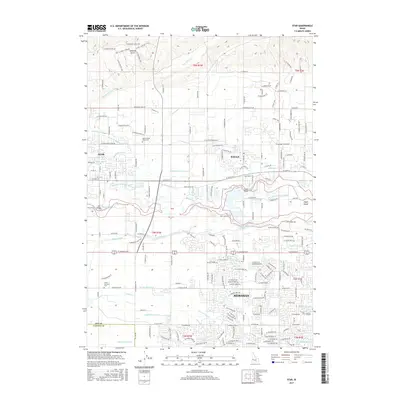
2017 Map of Star
USGS Topo · Published 2017About this map
Star, Eagle, and Meridian anchor this landscape, where the Boise River creates a complex network of waterways and irrigation infrastructure. The river divides around Eagle Island, crossed by the Linder Bridge and Star Bridge, while an extensive system of man-made channels like the Phyllis Canal, Farmers Union Canal, and Middleton Mill Canal redirect water across the valley floor. This intricate hydraulic pattern reflects the region's long-standing dependency on controlled water for its agricultural and residential development.
Find a feature on this map
137 named features on this map. Tap any name to fly to it.
Don’t see what you’re looking for? This feature index may not catch every label — zoom into the map to look around manually.
Map Details
Editions of this 2017 Star Map
This is the sole edition of this map. No revisions or reprints were ever made.
Other maps of this area

1892 · Boise
USGS Topo · 1:125,000

1897 · Boise
USGS Topo · 1:125,000

1898 · Nampa
USGS Topo · 1:125,000

1953 · Eagle
USGS Topo · 1:24,000

1953 · Cloverdale
USGS Topo · 1:24,000

1953 · Meridian
USGS Topo · 1:24,000

1953 · Star
USGS Topo · 1:24,000

1953 · Montour
USGS Topo · 1:62,500

1955 · Boise
USGS Topo · 1:250,000

1958 · Boise
USGS Topo · 1:250,000