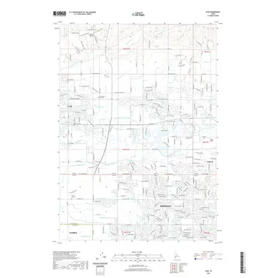
2020 Map of Star
USGS Topo · Published 2020About this map
The Boise River forms the central artery of this Treasure Valley landscape, as it flows past the expanding communities of Star, Meridian, and Eagle. The region is defined by an intricate network of irrigation engineering, including the Phyllis Canal, Eightmile Lateral, and Middleton Mill Canal, which have long supported the transition from desert to productive agricultural and residential land. In the northern reaches, the terrain rises into the foothills at Lanktree Gulch, while the riverbed itself creates substantial landmarks like Eagle Island. Genealogists and local historians can pinpoint several significant sites, including the Home of the Peace Cem and Lower Fairview Cem. The presence of crossing points such as Linder Bridge and Star Bridge illustrates the historic connectivity between the northern hills and the developed southern plains of Ada County.
Find a feature on this map
221 named features on this map. Tap any name to fly to it.
Don’t see what you’re looking for? This feature index may not catch every label — zoom into the map to look around manually.
Map Details
Editions of this 2020 Star Map
This is the sole edition of this map. No revisions or reprints were ever made.
Other maps of this area

1892 · Boise
USGS Topo · 1:125,000

1897 · Boise
USGS Topo · 1:125,000

1898 · Nampa
USGS Topo · 1:125,000

1953 · Eagle
USGS Topo · 1:24,000

1953 · Cloverdale
USGS Topo · 1:24,000

1953 · Meridian
USGS Topo · 1:24,000

1953 · Star
USGS Topo · 1:24,000

1953 · Montour
USGS Topo · 1:62,500

1955 · Boise
USGS Topo · 1:250,000

1958 · Boise
USGS Topo · 1:250,000