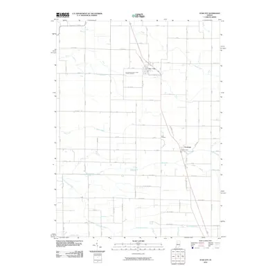
2010 Map of Star City
USGS Topo · Published 2010About this map
Star City and Thornhope anchor this portion of Pulaski County, where the landscape is defined by an intricate network of agricultural drainage and small watercourses. The layout of the region reflects a deeply established farming economy, with named features such as Stout Gise Ditch, Skillen Ditch, and Moon Ditch systematically managing the watershed around Indian Creek and Mud Creek. These artificial and natural waterways crisscross a rigid grid of county roads, providing a clear view of the rural infrastructure in the early 21st century.
Find a feature on this map
80 named features on this map. Tap any name to fly to it.
Don’t see what you’re looking for? This feature index may not catch every label — zoom into the map to look around manually.
Map Details
Editions of this 2010 Star City Map
This is the sole edition of this map. No revisions or reprints were ever made.
Other maps of this area

1953 · Chicago
USGS Topo · 1:250,000

1953 · Danville
USGS Topo · 1:250,000

1955 · Danville
USGS Topo · 1:250,000

1956 · Danville
USGS Topo · 1:250,000

1957 · Chicago
USGS Topo · 1:250,000

1960 · Lucerne
USGS Topo · 1:24,000

1960 · Grass Creek
USGS Topo · 1:24,000

1962 · Buffalo
USGS Topo · 1:24,000

1962 · Winamac
USGS Topo · 1:24,000

1962 · Star City
USGS Topo · 1:24,000