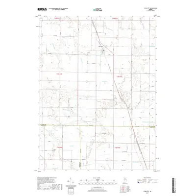
2019 Map of Star City
USGS Topo · Published 2019About this map
Star City and Thornhope anchor this 2019 survey of the agricultural heartland where Pulaski, Cass, and White Counties converge. The landscape is defined by a dense network of water management features, including Stout Gise Ditch, Hoffman Ditch, and Bonnell Number Two Ditch, which support the intensive cultivation of the surrounding plains. These engineered waterways intersect with natural drainages like Mud Cr and Dickey Cr, illustrating the long-standing effort to adapt the regional hydrology for farming.
Find a feature on this map
38 named features on this map. Tap any name to fly to it.
Don’t see what you’re looking for? This feature index may not catch every label — zoom into the map to look around manually.
Map Details
Editions of this 2019 Star City Map
This is the sole edition of this map. No revisions or reprints were ever made.
Other maps of this area

1953 · Chicago
USGS Topo · 1:250,000

1953 · Danville
USGS Topo · 1:250,000

1955 · Danville
USGS Topo · 1:250,000

1956 · Danville
USGS Topo · 1:250,000

1957 · Chicago
USGS Topo · 1:250,000

1960 · Lucerne
USGS Topo · 1:24,000

1960 · Grass Creek
USGS Topo · 1:24,000

1962 · Buffalo
USGS Topo · 1:24,000

1962 · Winamac
USGS Topo · 1:24,000

1962 · Star City
USGS Topo · 1:24,000