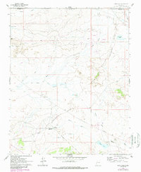
1961 Map of Star Lake
USGS Topo · Published 1989About this map
Star Lake Trading Post and a nearby Mission anchor this high-desert landscape along the Continental Divide, as surveyed in the early 1960s. The region is defined by a network of drainage systems, including Chaco Wash and Papers Wash, which cut through the arid terrain south of Pot Mesa. Local infrastructure supporting energy and transport is evident through the Star Lake Pumping Station, a Landing Strip, and several clusters of drill holes that mark subsurface exploration across the Sandoval and McKinley county line. Significant seasonal water sources and landmarks like Franciscan Lake, Calladito Lakes, and Arroyo Alto Pueblo provide specific points of reference for researchers tracing the historical geography of this remote corner of New Mexico. The map also captures local place names such as Daniel and Pot Point, alongside the prominent Raton Ceja del Continental Divide.
Find a feature on this map
23 named features on this map. Tap any name to fly to it.
Don’t see what you’re looking for? This feature index may not catch every label — zoom into the map to look around manually.
Map Details
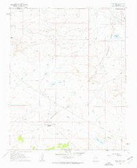
Editions of this 1961 Star Lake Map
2 editions found
Other maps of this area

1883 · Mt. Taylor
USGS Topo · 1:250,000

1886 · Mt. Taylor
USGS Topo · 1:250,000

1889 · Largo
USGS Topo · 1:250,000

1892 · Mt. Taylor
USGS Topo · 1:250,000

1895 · Largo
USGS Topo · 1:250,000

1899 · Mt. Taylor
USGS Topo · 1:250,000

1954 · Aztec
USGS Topo · 1:250,000

1958 · Aztec
USGS Topo · 1:250,000

1958 · Albuquerque
USGS Topo · 1:250,000

1960 · Pueblo Alto Trading Post
USGS Topo · 1:24,000