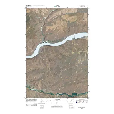
2011 Map of Starbuck East
USGS Topo · Published 2011About this map
Starbuck anchors the southwestern corner of this Columbia County landscape, situated where the Tucannon River flows through the canyon bottomlands. The terrain is defined by the steep-walled basalt breaks leading down to the Snake River, which dominates the central portion of the sheet. At the river's edge, the settlement of Riparia and its associated Riparia Launch Area mark a historical point of river access and transport.
Find a feature on this map
19 named features on this map. Tap any name to fly to it.
Don’t see what you’re looking for? This feature index may not catch every label — zoom into the map to look around manually.
Map Details
Editions of this 2011 Starbuck East Map
This is the sole edition of this map. No revisions or reprints were ever made.
Other maps of this area

1919 · Walla Walla
USGS Topo · 1:125,000

1921 · Walla Walla
USGS Topo · 1:125,000

1937 · Pomeroy
USGS Topo · 1:96,000

1942 · Pomeroy
USGS Topo · 1:125,000

1948 · Starbuck
USGS Topo · 1:62,500

1950 · Starbuck
USGS Topo · 1:62,500

1950 · Hay
USGS Topo · 1:62,500

1952 · Hay
USGS Topo · 1:62,500

1953 · Walla Walla
USGS Topo · 1:250,000

1955 · Pullman
USGS Topo · 1:250,000