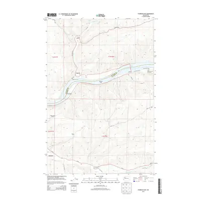
2013 Map of Starbuck East
USGS Topo · Published 2013About this map
Starbuck sits at the southwestern edge of this landscape, where the Tucannon River cuts through the canyon floors of southeast Washington. The terrain is defined by deep draws and hollows, including Long Hollow and Choke Cherry Canyon, which drain toward the powerful Snake River corridor. Along the river, the impoundment of Lake Bryan has altered the original shoreline, though names like McGuire Shoal and Texas Rapids Launch Area preserve the memory of the river's swifter past.
Find a feature on this map
33 named features on this map. Tap any name to fly to it.
Don’t see what you’re looking for? This feature index may not catch every label — zoom into the map to look around manually.
Map Details
Editions of this 2013 Starbuck East Map
This is the sole edition of this map. No revisions or reprints were ever made.
Other maps of this area

1919 · Walla Walla
USGS Topo · 1:125,000

1921 · Walla Walla
USGS Topo · 1:125,000

1937 · Pomeroy
USGS Topo · 1:96,000

1942 · Pomeroy
USGS Topo · 1:125,000

1948 · Starbuck
USGS Topo · 1:62,500

1950 · Starbuck
USGS Topo · 1:62,500

1950 · Hay
USGS Topo · 1:62,500

1952 · Hay
USGS Topo · 1:62,500

1953 · Walla Walla
USGS Topo · 1:250,000

1955 · Pullman
USGS Topo · 1:250,000