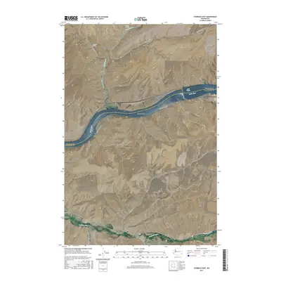
2017 Map of Starbuck East
USGS Topo · Published 2017About this map
The Snake River carves a deep valley through this Columbia County landscape, serving as the border between the southern high plains and the northern uplands of Whitman County. Near the bend in the river, the settlement of Riparia sits along the northern shore, while the southern bank features the wide McGuire Shoal. In the southern portion of the map, the town of Starbuck is positioned where the Tucannon River flows through the canyon bottom. This area is defined by a network of rural routes such as Little Goose Dam Rd and Riveria Rd that navigate the dramatic elevation changes between the river basin and the surrounding plateau. Local landmarks including Smith Hollow and Choke Cherry Canyon illustrate the dissected nature of the terrain, while the Little Goose Lock and Dam Airport highlights the technical infrastructure supporting the river's navigational systems.
Find a feature on this map
25 named features on this map. Tap any name to fly to it.
Don’t see what you’re looking for? This feature index may not catch every label — zoom into the map to look around manually.
Map Details
Editions of this 2017 Starbuck East Map
This is the sole edition of this map. No revisions or reprints were ever made.
Other maps of this area

1919 · Walla Walla
USGS Topo · 1:125,000

1921 · Walla Walla
USGS Topo · 1:125,000

1937 · Pomeroy
USGS Topo · 1:96,000

1942 · Pomeroy
USGS Topo · 1:125,000

1948 · Starbuck
USGS Topo · 1:62,500

1950 · Starbuck
USGS Topo · 1:62,500

1950 · Hay
USGS Topo · 1:62,500

1952 · Hay
USGS Topo · 1:62,500

1953 · Walla Walla
USGS Topo · 1:250,000

1955 · Pullman
USGS Topo · 1:250,000