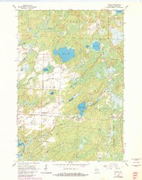
1965 Map of Starks
USGS Topo · Published 1982About this map
Glacial lakes and marshy lowlands dominate this 1960s survey of Oneida County, where the industrial footprint of timber and transport remains visible. The settlement at Starks serves as a central hub, connected to the nearby Gagen rail junction. A complex network of water bodies, including the expansive Stella Lake, Ginty Lake, and the northern reaches of Pelican Lake, defines the local geography.
Find a feature on this map
34 named features on this map. Tap any name to fly to it.
Don’t see what you’re looking for? This feature index may not catch every label — zoom into the map to look around manually.
Map Details
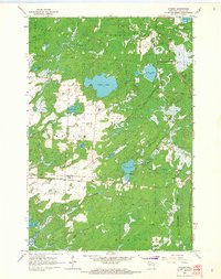
Editions of this 1965 Starks Map
2 editions found
Other maps of this area

1928 · Three Lakes
USGS Topo · 1:48,000

1930 · Robbins
USGS Topo · 1:48,000

1938 · Three Lakes
USGS Topo · 1:48,000

1938 · Robbins
USGS Topo · 1:48,000

1940 · Monico
USGS Topo · 1:48,000

1940 · Rhinelander
USGS Topo · 1:48,000

1945 · Three Lakes
USGS Topo · 1:48,000

1945 · Robbins
USGS Topo · 1:48,000

1949 · Rhinelander
USGS Topo · 1:48,000

1950 · Monico
USGS Topo · 1:48,000