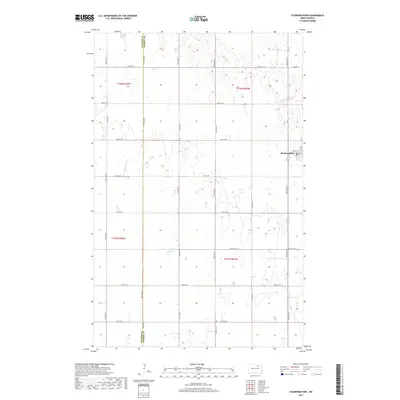
2017 Map of Starkweather
USGS Topo · Published 2017About this map
Starkweather serves as the primary hub of this prairie landscape, where the local Po and structured grid including Main St and Martin St anchor the rural community. The surrounding terrain is defined by the complex hydrography of the Devils Lake Basin, most notably the seasonal waters of Davis Slough which meanders through the southern sections. This 2017 survey details the meticulously surveyed Public Land Survey System grid, shown through the boundaries of t158n r65w and t157n r64w. The map documents the persistent county line separating the Towner Co and Ramsey Co border, illustrating how political boundaries and section lines dictate the placement of local roads like 74th St NE across the North Dakota plains.
Find a feature on this map
18 named features on this map. Tap any name to fly to it.
Don’t see what you’re looking for? This feature index may not catch every label — zoom into the map to look around manually.
Map Details
Editions of this 2017 Starkweather Map
This is the sole edition of this map. No revisions or reprints were ever made.
Other maps of this area

1953 · Devils Lake
USGS Topo · 1:250,000

1956 · Devils Lake
USGS Topo · 1:250,000

1957 · Cando SE
USGS Topo · 1:24,000

1957 · Starkweather SE
USGS Topo · 1:24,000

1957 · Cando NE
USGS Topo · 1:24,000

1957 · Webster
USGS Topo · 1:24,000

1962 · Egeland SE
USGS Topo · 1:24,000

1962 · Starkweather
USGS Topo · 1:24,000

1962 · Starkweather NE
USGS Topo · 1:24,000

1971 · Munich SW
USGS Topo · 1:24,000