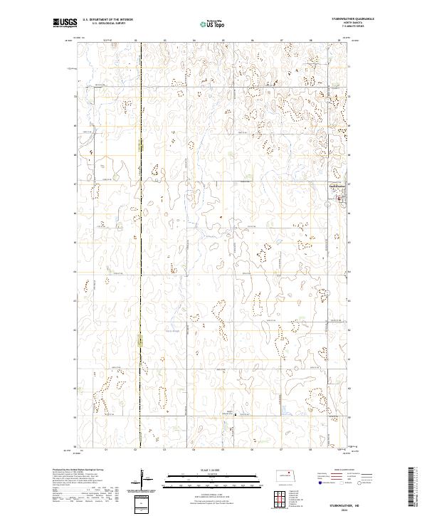
2024 Map of Starkweather
USGS Topo · Published 2024About this map
Starkweather serves as the primary hub of this northern plains landscape, situated at the intersection of Main St and 82nd Ave NE. The township structure is defined by a rigorous grid of section lines, including 78th Ave NE, which also serves as the boundary between Towner and Ramsey Counties. This drainage pattern is characterized by numerous small prairie potholes and larger features like Davis Slough, reflecting the glacial history of the region. The map preserves local landmarks such as the Bergen Lutheran Cem south of town and the dedicated conservation lands of the Ramsey County Waterfowl Production Area. This survey documents a contemporary view of North Dakota’s agricultural heartland, where the proximity to waterfowl habitats remains a defining characteristic of the land use.
Find a feature on this map
23 named features on this map. Tap any name to fly to it.
Don’t see what you’re looking for? This feature index may not catch every label — zoom into the map to look around manually.
Map Details
Editions of this 2024 Starkweather Map
This is the sole edition of this map. No revisions or reprints were ever made.
Other maps of this area

1953 · Devils Lake
USGS Topo · 1:250,000

1956 · Devils Lake
USGS Topo · 1:250,000

1957 · Cando SE
USGS Topo · 1:24,000

1957 · Starkweather SE
USGS Topo · 1:24,000

1957 · Cando NE
USGS Topo · 1:24,000

1957 · Webster
USGS Topo · 1:24,000

1962 · Egeland SE
USGS Topo · 1:24,000

1962 · Starkweather
USGS Topo · 1:24,000

1962 · Starkweather NE
USGS Topo · 1:24,000

1971 · Munich SW
USGS Topo · 1:24,000