
1975 Map of State Center NW
USGS Topo · Published 1978About this map
Minerva Creek and its tributaries carve a network through the agricultural landscape of northern Marshall County in the mid-1970s. The settlement of St Anthony sits at the southern edge of this survey, marking a focal point for the surrounding farmsteads of Liberty and Lincoln townships. The map documents the rural social fabric of the era through its careful placement of country churches and burying grounds, including Chester Ch and the Illinois Grove Cem.
Find a feature on this map
19 named features on this map. Tap any name to fly to it.
Don’t see what you’re looking for? This feature index may not catch every label — zoom into the map to look around manually.
Map Details
Editions of this 1975 State Center NW Map
This is the sole edition of this map. No revisions or reprints were ever made.
Other maps of this area

1954 · Waterloo
USGS Topo · 1:250,000

1955 · Waterloo
USGS Topo · 1:250,000

1975 · State Center
USGS Topo · 1:24,000

1975 · Union
USGS Topo · 1:24,000

1975 · Zearing
USGS Topo · 1:24,000
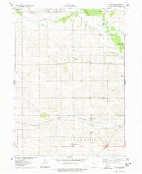
1975 · La Moille
USGS Topo · 1:24,000
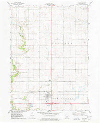
1975 · Colo
USGS Topo · 1:24,000

1979 · New Providence
USGS Topo · 1:24,000

1979 · Hubbard
USGS Topo · 1:24,000

1979 · Eldora
USGS Topo · 1:24,000