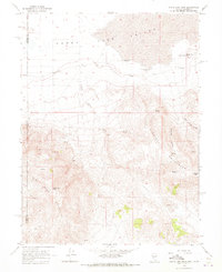
1964 Map of State Line Peak
USGS Topo · Published 1973About this map
Lake Valley and the dry flats of Honey dominate the northern landscape of this border region, where high desert basins meet the rising slopes of the Virginia Mountains. The presence of water dictates the geography of settlement and survival here, notably at Fish Springs Ranch and the nearby Fish Springs. Evidence of early hydraulic engineering is visible through the Desert Well (Flowing) and Lime Rock Well (Flowing), which provided essential resources for livestock and travelers in this arid terrain.
Find a feature on this map
22 named features on this map. Tap any name to fly to it.
Don’t see what you’re looking for? This feature index may not catch every label — zoom into the map to look around manually.
Map Details
Editions of this 1964 State Line Peak Map
Other maps of this area

1886 · Honey Lake
USGS Topo · 1:250,000

1886 · Granite Range
USGS Topo · 1:250,000

1890 · Sierraville
USGS Topo · 1:125,000

1891 · Honey Lake
USGS Topo · 1:250,000

1891 · Reno
USGS Topo · 1:125,000

1892 · Sierraville
USGS Topo · 1:125,000

1893 · Honey Lake
USGS Topo · 1:250,000

1893 · Reno
USGS Topo · 1:125,000

1894 · Granite Range
USGS Topo · 1:250,000

1894 · Sierraville
USGS Topo · 1:125,000