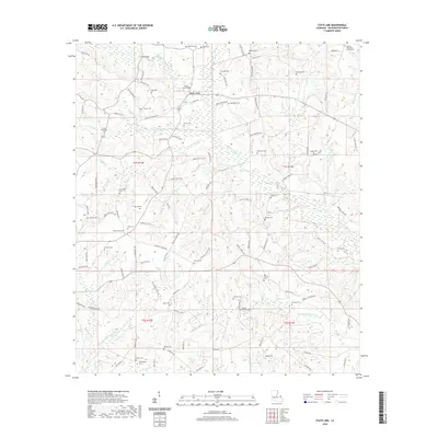
2020 Map of State Line
USGS Topo · Published 2020About this map
State Line sits at the northern edge of Washington Parish, where the local landscape is defined by an intricate network of creeks and small family burial grounds. The water system is particularly dense, with Pushepatapa Cr and its various forks flowing alongside Muster Ground Cr and Bogue Lusa Cr. These waterways historically shaped the settlement patterns and road networks of the area, as seen in the winding routes of Parish Rd 179 and Parish Rd 222. For genealogists, the map is a dense directory of local history, naming dozens of rural resting places such as Crains Creek Cem, Singley Cem, and the Bethel Assembly of God Cem. The distribution of these sites across the townships of t1s r12e and t1s r13e suggests a long-standing community structure centered around small, decentralized family plots and rural congregations.
Find a feature on this map
114 named features on this map. Tap any name to fly to it.
Don’t see what you’re looking for? This feature index may not catch every label — zoom into the map to look around manually.
Map Details
Editions of this 2020 State Line Map
This is the sole edition of this map. No revisions or reprints were ever made.
Other maps of this area

1942 · Thigpen
USGS Topo · 1:31,680

1942 · Thomas
USGS Topo · 1:31,680

1949 · Bogalusa East
USGS Topo · 1:31,680

1949 · Angie
USGS Topo · 1:31,680

1949 · Bogalusa West
USGS Topo · 1:31,680

1950 · Crains Creek
USGS Topo · 1:31,680

1953 · Hattiesburg
USGS Topo · 1:250,000

1953 · Natchez
USGS Topo · 1:250,000

1953 · Mobile
USGS Topo · 1:250,000

1954 · Baton Rouge
USGS Topo · 1:250,000