
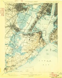
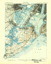
1900 Map of Staten Island
USGS Topo · Published 1900About this map
Staten Island and its surrounding harbor waters dominate this turn-of-the-century topographic portrait, revealing a landscape defined by defensive fortifications and a complex web of maritime transport. The strategic importance of The Narrows is clear, guarded by Fort Wadsworth, Fort Tompkins, and Fort Lafayette. To the north, the industrial character of the era is evident along the Morris Canal and the massive rail infrastructure of the Central Railroad of New Jersey.
Find a feature on this map
172 named features on this map. Tap any name to fly to it.
Don’t see what you’re looking for? This feature index may not catch every label — zoom into the map to look around manually.
Map Details
Editions of this 1900 Staten Island Map
10 editions found
1900 edition
16.2 x 19.4 inches
1902 edition
15.7 x 19.7 inches
1904 edition
15.9 x 19.8 inches
1906 edition
16.1 x 19.8 inches
1908 edition
15.8 x 19.9 inches
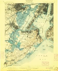
1909 edition
15.9 x 19.7 inches
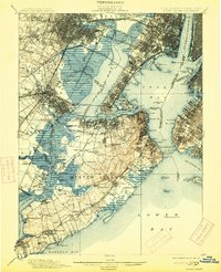
1913 edition
16 x 19.7 inches
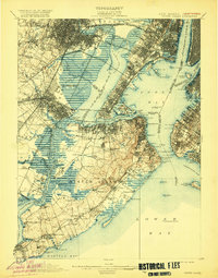
1920 edition
15.9 x 20.3 inches
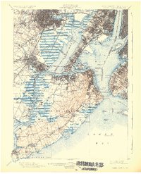
1926 edition
16.47 x 20.34 inches
1932 edition
16.4 x 20.6 inches
Other maps of this area

1888 · Plainfield
USGS Topo · 1:62,500

1888 · Morristown
USGS Topo · 1:62,500

1888 · New Brunswick
USGS Topo · 1:62,500

1888 · Paterson
USGS Topo · 1:62,500

1888 · Sandy Hook
USGS Topo · 1:62,500

1889 · Brooklyn
USGS Topo · 1:62,500

1891 · Brooklyn
USGS Topo · 1:62,500

1891 · Harlem
USGS Topo · 1:62,500

1892 · Paterson
USGS Topo · 1:62,500

1893 · New Brunswick
USGS Topo · 1:62,500